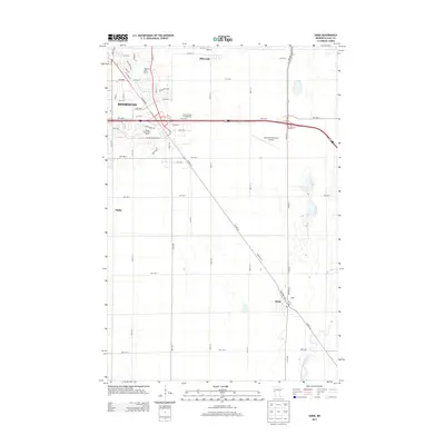
2013 Map of Sabin
USGS Topo · Published 2013About this map
Sabin and the southeastern edge of Moorhead anchor this 2013 topographic survey of the Red River Valley plains. The landscape is defined by the transition from dense residential and commercial expansion in the northwest to broad agricultural tracts in the south and east. Significant transportation corridors, including Co Hwy-52 and SE Main Ave, cut diagonally across the grid, reflecting historical movement patterns toward the Red River. The South Branch Buffalo River meanders through the eastern section, providing a natural break in the otherwise rigid section-line road network. Recreational and infrastructure hubs such as the Village Green Golf Course, Meadows Golf Course, and the Moorhead Municipal Airport occupy the interface between the urbanized city limits and the outlying rural reaches of Dilworth and Finkle.
Find a feature on this map
53 named features on this map. Tap any name to fly to it.
Don’t see what you’re looking for? This feature index may not catch every label — zoom into the map to look around manually.
Map Details
Editions of this 2013 Sabin Map
This is the sole edition of this map. No revisions or reprints were ever made.
Other maps of this area

1895 · Fargo
USGS Topo · 1:125,000

1897 · Fargo
USGS Topo · 1:125,000

1953 · Fargo
USGS Topo · 1:250,000

1956 · Fargo
USGS Topo · 1:250,000

1959 · Fargo North
USGS Topo · 1:24,000

1959 · Fargo South
USGS Topo · 1:24,000

1959 · Hickson
USGS Topo · 1:24,000

1964 · Sabin
USGS Topo · 1:24,000

1964 · Baker
USGS Topo · 1:24,000

1964 · Dilworth
USGS Topo · 1:24,000