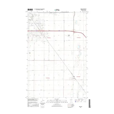
2016 Map of Sabin
USGS Topo · Published 2016About this map
Moorhead and Dilworth anchor the northwest corner of this Clay County landscape, where residential expansion meets the geometric precision of the Red River Valley’s agricultural grid. The map illustrates a transitional zone where suburban developments like Village Green Blvd and Appletree Ln push into the prairie southeast of the city center. This urbanization is balanced by the persistence of smaller rural hubs and infrastructure, including the Moorhead Municipal Airport and the settlement of Finkle. To the southeast, the terrain transitions into more defined natural drainage systems, most notably where the South Branch Buffalo River meanders toward the village of Sabin. The transportation network is defined by the diagonal corridor of Co Hwy 52 and numerous county routes like Co Hwy 12, which coordinate the movement between these farming communities and the growing Moorhead municipal area.
Find a feature on this map
46 named features on this map. Tap any name to fly to it.
Don’t see what you’re looking for? This feature index may not catch every label — zoom into the map to look around manually.
Map Details
Editions of this 2016 Sabin Map
This is the sole edition of this map. No revisions or reprints were ever made.
Other maps of this area

1895 · Fargo
USGS Topo · 1:125,000

1897 · Fargo
USGS Topo · 1:125,000

1953 · Fargo
USGS Topo · 1:250,000

1956 · Fargo
USGS Topo · 1:250,000

1959 · Fargo North
USGS Topo · 1:24,000

1959 · Fargo South
USGS Topo · 1:24,000

1959 · Hickson
USGS Topo · 1:24,000

1964 · Sabin
USGS Topo · 1:24,000

1964 · Baker
USGS Topo · 1:24,000

1964 · Dilworth
USGS Topo · 1:24,000