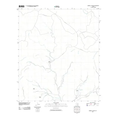
2010 Map of Sabinal Canyon
USGS Topo · Published 2010About this map
The Sabinal River flows through the heart of this Texas Hill Country landscape, joined by numerous seasonal drainages including Can Creek and Snow Creek. This area of Real County is defined by its dramatic topographic relief, where the river has carved out the namesake Sabinal Canyon. Transportation in the early 21st century remains tied to the winding paths of Ranch Rd 187 and Ranch Rd 337, which follow the natural contours of the valley floors. In the southeastern portion of the quadrangle, the Pelaez Lake Dam impounds water to form Pelaez Lake, a notable hydrologic feature in a region otherwise dominated by narrow creek beds and expansive hollows like Fiddler Hollow and Massey Hollow. The map also captures the headwaters of the North Prong Medina River in the northeast, illustrating the high-elevation divide that separates major regional watersheds.
Find a feature on this map
38 named features on this map. Tap any name to fly to it.
Don’t see what you’re looking for? This feature index may not catch every label — zoom into the map to look around manually.
Map Details
Editions of this 2010 Sabinal Canyon Map
This is the sole edition of this map. No revisions or reprints were ever made.
Other maps of this area

1954 · San Antonio
USGS Topo · 1:250,000

1956 · Tarpley
USGS Topo · 1:62,500

1956 · Tuff
USGS Topo · 1:62,500

1956 · Utopia
USGS Topo · 1:62,500

1957 · San Antonio
USGS Topo · 1:250,000

1964 · Hillcrest Ranch
USGS Topo · 1:24,000

1964 · Circle Bluff
USGS Topo · 1:24,000

1964 · Sabinal Canyon
USGS Topo · 1:24,000

1964 · Well Hollow
USGS Topo · 1:24,000

1964 · Diamond S Ranch
USGS Topo · 1:24,000