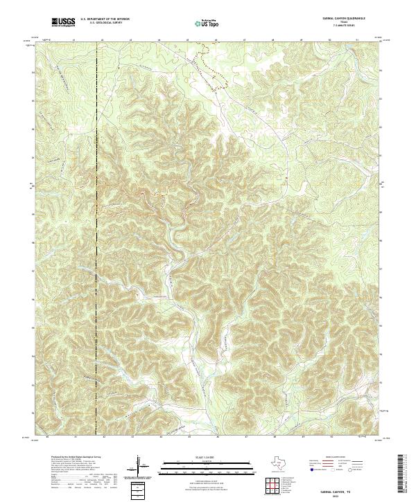
2022 Map of Sabinal Canyon
USGS Topo · Published 2022About this map
The Sabinal River cuts through the heart of this landscape, carving the deep Sabinal Canyon as it flows south toward the edge of the Texas Hill Country. This modern survey illustrates the intricate drainage network of the region, where the N Prong Medina River and S Fork N Prong Medina River meet near Flatrock Spring. The terrain is defined by a dense series of hollows and draws, including Gobbler Hollow, Cherry Hollow, and Massey Hollow, which showcase the complex erosion patterns typical of the Edwards Plateau. Local ranching and recreation are evident through the network of trails such as the Maple Trl and Overlook Trl, alongside established routes like Ranch Rd 187. The presence of Pelaez Lake and numerous named creeks like Jernigan Cr highlight the critical water sources that have historically dictated settlement and land use across the Real and Bandera county line.
Find a feature on this map
56 named features on this map. Tap any name to fly to it.
Don’t see what you’re looking for? This feature index may not catch every label — zoom into the map to look around manually.
Map Details
Editions of this 2022 Sabinal Canyon Map
This is the sole edition of this map. No revisions or reprints were ever made.
Other maps of this area

1954 · San Antonio
USGS Topo · 1:250,000

1956 · Tarpley
USGS Topo · 1:62,500

1956 · Tuff
USGS Topo · 1:62,500

1956 · Utopia
USGS Topo · 1:62,500

1957 · San Antonio
USGS Topo · 1:250,000

1964 · Hillcrest Ranch
USGS Topo · 1:24,000

1964 · Circle Bluff
USGS Topo · 1:24,000

1964 · Sabinal Canyon
USGS Topo · 1:24,000

1964 · Well Hollow
USGS Topo · 1:24,000

1964 · Diamond S Ranch
USGS Topo · 1:24,000