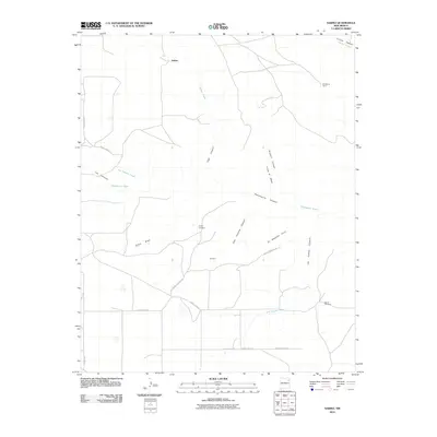
2010 Map of Sabino
USGS Topo · Published 2010About this map
Sabino and the surrounding ranching country of Harding County are documented here in the early twenty-first century. The landscape is defined by its dramatic drainage system, where numerous canyons and draws carve through the high plains toward the Carrizo Creek watershed. Significant local family history is anchored by the Trujillo Cemetery and Garcia Cemetery, which sit near the ephemeral waters of Ojitos Draw and Las Cuevas Creek.
Find a feature on this map
27 named features on this map. Tap any name to fly to it.
Don’t see what you’re looking for? This feature index may not catch every label — zoom into the map to look around manually.
Map Details
Editions of this 2010 Sabino Map
This is the sole edition of this map. No revisions or reprints were ever made.
Other maps of this area

1954 · Santa Fe
USGS Topo · 1:250,000

1954 · Raton
USGS Topo · 1:250,000

1954 · Tucumcari
USGS Topo · 1:250,000

1954 · Dalhart
USGS Topo · 1:250,000

1958 · Raton
USGS Topo · 1:250,000

1958 · Santa Fe
USGS Topo · 1:250,000

1958 · Tucumcari
USGS Topo · 1:250,000

1958 · Dalhart
USGS Topo · 1:250,000

1962 · Dalhart
USGS Topo · 1:250,000

1973 · Yates SE
USGS Topo · 1:24,000