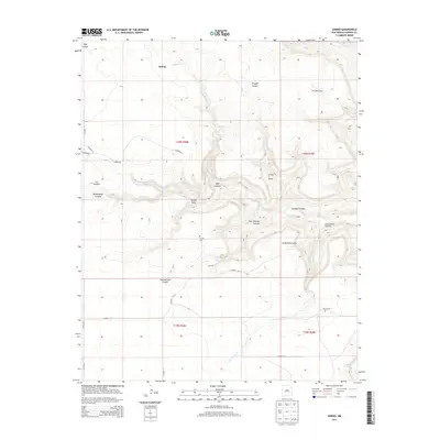
2013 Map of Sabino
USGS Topo · Published 2013About this map
Sabino and the surrounding high plains of Harding County are characterized by a network of deep-cut drainages including Tequesquite Canyon and Graybill Canyon. This 2013 survey illustrates a landscape dominated by ranching and rural outposts, where seasonal water sources like Sabino Cr and Revoal Springs have historically dictated the placement of human activity. The map reveals important genealogical markers such as Trujillo Cem and Garcia Cem, along with named locales like Heimann and Las Canelas.
Find a feature on this map
71 named features on this map. Tap any name to fly to it.
Don’t see what you’re looking for? This feature index may not catch every label — zoom into the map to look around manually.
Map Details
Editions of this 2013 Sabino Map
This is the sole edition of this map. No revisions or reprints were ever made.
Other maps of this area

1954 · Santa Fe
USGS Topo · 1:250,000

1954 · Raton
USGS Topo · 1:250,000

1954 · Tucumcari
USGS Topo · 1:250,000

1954 · Dalhart
USGS Topo · 1:250,000

1958 · Raton
USGS Topo · 1:250,000

1958 · Santa Fe
USGS Topo · 1:250,000

1958 · Tucumcari
USGS Topo · 1:250,000

1958 · Dalhart
USGS Topo · 1:250,000

1962 · Dalhart
USGS Topo · 1:250,000

1973 · Yates SE
USGS Topo · 1:24,000