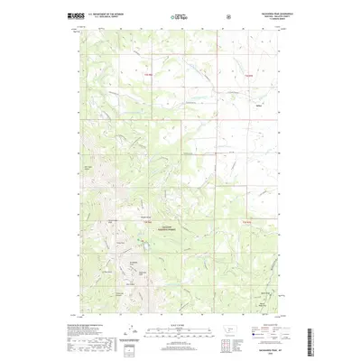
2020 Map of Sacagawea Peak
USGS Topo · Published 2020About this map
Sacagawea Peak and the surrounding high country of the Bridger Range dominate this 2020 landscape within the Gallatin National Forest. This section of Montana is characterized by steep glacial cirques and prominent summits such as Naya Nuki Peak, Pomp Peak, and Hardscrabble Peak. The map provides a detailed look at the hydrology of the area, showing the headwaters for several major drainage systems including Fairy Cr, Flathead Cr, and Frazier Cr. Local travel is marked by several high-altitude crossings, including Sacagawea Pass and Flathead Pass. Toward the northeast, the terrain softens as it moves toward the settlement of Sedan, where the mountain runoff feeds into agricultural valleys. Distinctive natural landmarks such as Fairy Lake and Dry Canyon are clearly documented, alongside specialized local features like Shafthouse Hill.
Find a feature on this map
57 named features on this map. Tap any name to fly to it.
Don’t see what you’re looking for? This feature index may not catch every label — zoom into the map to look around manually.
Map Details
Editions of this 2020 Sacagawea Peak Map
This is the sole edition of this map. No revisions or reprints were ever made.
Other maps of this area

1886 · Fort Logan
USGS Topo · 1:250,000

1886 · Little Belt Mts.
USGS Topo · 1:250,000

1888 · Three Forks
USGS Topo · 1:250,000

1891 · Livingston
USGS Topo · 1:250,000

1893 · Livingston
USGS Topo · 1:250,000

1894 · Three Forks
USGS Topo · 1:250,000

1894 · Little Belt Mts.
USGS Topo · 1:250,000

1895 · Three Forks
USGS Topo · 1:250,000

1897 · Little Belt Mts.
USGS Topo · 1:250,000

1898 · Little Belt Mts.
USGS Topo · 1:250,000