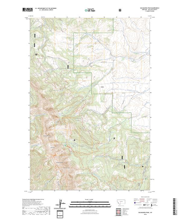
2024 Map of Sacagawea Peak
USGS Topo · Published 2024About this map
The Bridger Range dominates this portion of the Gallatin National Forest, serving as a high-altitude spine between the drainage basins of Flathead Creek and Brackett Creek. This modern survey reveals a landscape where high summits such as Sacagawea Peak, Naya Nuki Peak, and Pomp Peak tower over a network of alpine basins holding Fairy Lake, Frazier Lake, and Elf Lake. These glacial features are accessed by a system of historical paths and modern tracks, including the Sacagawea Pass Trl and the Shafthouse Hill Tri.
Find a feature on this map
52 named features on this map. Tap any name to fly to it.
Don’t see what you’re looking for? This feature index may not catch every label — zoom into the map to look around manually.
Map Details
Editions of this 2024 Sacagawea Peak Map
This is the sole edition of this map. No revisions or reprints were ever made.
Other maps of this area

1886 · Fort Logan
USGS Topo · 1:250,000

1886 · Little Belt Mts.
USGS Topo · 1:250,000

1888 · Three Forks
USGS Topo · 1:250,000

1891 · Livingston
USGS Topo · 1:250,000

1893 · Livingston
USGS Topo · 1:250,000

1894 · Three Forks
USGS Topo · 1:250,000

1894 · Little Belt Mts.
USGS Topo · 1:250,000

1895 · Three Forks
USGS Topo · 1:250,000

1897 · Little Belt Mts.
USGS Topo · 1:250,000

1898 · Little Belt Mts.
USGS Topo · 1:250,000