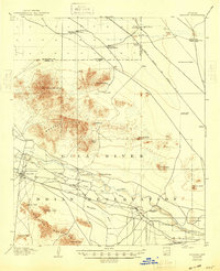
1907 Map of Sacaton
USGS Topo · Published 1948About this map
The Gila River Indian Reservation dominates this desert landscape at the dawn of the twentieth century, showcasing early irrigation and agricultural development. The settlement of Sacaton serves as a central hub, supported by the Government Pumping Plant and the Santan Ditch, which redirect water from the Gila River to sustain the valley. To the south, the Casa Grande Ruin Res stands as a protected cultural landmark near the northern edge of the Sacaton Mountains.
Find a feature on this map
39 named features on this map. Tap any name to fly to it.
Don’t see what you’re looking for? This feature index may not catch every label — zoom into the map to look around manually.
Map Details
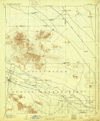
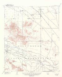
Editions of this 1907 Sacaton Map
4 editions found
Other maps of this area

1900 · Florence
USGS Topo · 1:125,000

1902 · Florence
USGS Topo · 1:125,000

1904 · Desert Well
USGS Topo · 1:62,500

1906 · Desert Well
USGS Topo · 1:62,500

1907 · Sacaton
USGS Topo · 1:62,500

1913 · Mesa
USGS Topo · 1:62,500

1914 · Gila Butte
USGS Topo · 1:62,500

1915 · Mesa
USGS Topo · 1:62,500

1917 · Gila Butte
USGS Topo · 1:62,500

1922 · Red Rock No 2
USGS Topo · 1:48,000