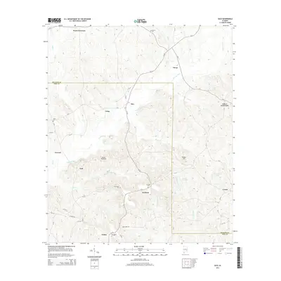
2014 Map of Saco
USGS Topo · Published 2014About this map
The Conecuh River defines the drainage of this rural landscape where Bullock and Pike counties meet. This 2014 survey documents a network of small, scattered settlements including Beans Crossroads, Saco, and Sandfield, linked by a web of county roads and Al-223. The terrain is marked by distinctive formations like the Devils Backbone and Wolfpit Hill, while numerous small cemeteries such as Old Canaan Cem and Barnette Cem provide critical touchpoints for genealogical research. The map reflects a persistent agricultural and residential pattern, with water features like Green Acres Lake and Thad Greens Lake indicating local land use. Notable for its preservation of family-named landmarks and rural intersections, the area maintains a quiet, inland character distinct from Alabama's larger urban centers.
Find a feature on this map
56 named features on this map. Tap any name to fly to it.
Don’t see what you’re looking for? This feature index may not catch every label — zoom into the map to look around manually.
Map Details
Editions of this 2014 Saco Map
This is the sole edition of this map. No revisions or reprints were ever made.
Other maps of this area

1953 · Dothan
USGS Topo · 1:250,000

1954 · Dothan
USGS Topo · 1:250,000

1955 · Dothan
USGS Topo · 1:250,000

1955 · Phenix City
USGS Topo · 1:250,000

1957 · Phenix City
USGS Topo · 1:250,000

1958 · Phenix City
USGS Topo · 1:250,000

1968 · Perote
USGS Topo · 1:24,000
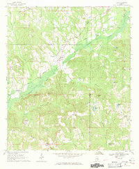
1968 · Saco
USGS Topo · 1:24,000
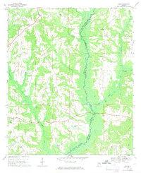
1968 · Josie
USGS Topo · 1:24,000
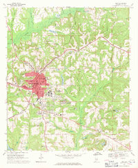
1968 · Troy
USGS Topo · 1:24,000