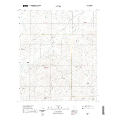
2020 Map of Saco
USGS Topo · Published 2020About this map
The Conecuh River winds through the central landscape of this Southeast Alabama region, defining the border between Bullock and Pike counties. The area is characterized by a network of small agricultural settlements and crossroads communities, with Saco serving as a central point along the north-south transit. Significant relief is found at Devils Backbone and Wolfpit Hill, which overlook the numerous tributaries like Morgan Br and Buckhorn Cr that feed into the larger river system.
Find a feature on this map
71 named features on this map. Tap any name to fly to it.
Don’t see what you’re looking for? This feature index may not catch every label — zoom into the map to look around manually.
Map Details
Editions of this 2020 Saco Map
This is the sole edition of this map. No revisions or reprints were ever made.
Other maps of this area

1953 · Dothan
USGS Topo · 1:250,000

1954 · Dothan
USGS Topo · 1:250,000

1955 · Dothan
USGS Topo · 1:250,000

1955 · Phenix City
USGS Topo · 1:250,000

1957 · Phenix City
USGS Topo · 1:250,000

1958 · Phenix City
USGS Topo · 1:250,000

1968 · Perote
USGS Topo · 1:24,000
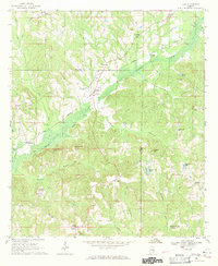
1968 · Saco
USGS Topo · 1:24,000
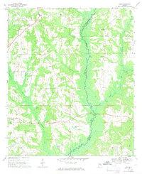
1968 · Josie
USGS Topo · 1:24,000
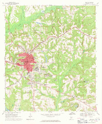
1968 · Troy
USGS Topo · 1:24,000