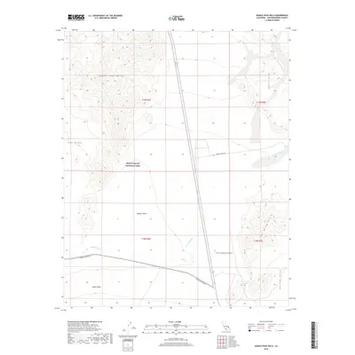
2018 Map of Saddle Peak Hills
USGS Topo · Published 2018About this map
Death Valley National Park and the surrounding Mojave Desert terrain define this 2018 survey of the California-Nevada borderlands. The landscape is dominated by the complex hydrology of the Amargosa River and Salt Cr, which carve through a series of desert ranges including the Saddle Peak Hills and Sperry Hills. These drainages converge in a region of shifting sands, marked by the prominent Ibex Dunes and Little Dumont Dunes.
Find a feature on this map
18 named features on this map. Tap any name to fly to it.
Don’t see what you’re looking for? This feature index may not catch every label — zoom into the map to look around manually.
Map Details
Editions of this 2018 Saddle Peak Hills Map
This is the sole edition of this map. No revisions or reprints were ever made.
Other maps of this area

1933 · Avawatz Mountains
USGS Topo · 1:250,000

1947 · Trona
USGS Topo · 1:250,000

1948 · Trona
USGS Topo · 1:250,000

1948 · Avawatz Pass
USGS Topo · 1:62,500

1950 · Tecopa
USGS Topo · 1:62,500

1951 · Avawatz Pass
USGS Topo · 1:62,500

1951 · Tecopa
USGS Topo · 1:62,500

1951 · Shoshone
USGS Topo · 1:62,500

1953 · Trona
USGS Topo · 1:250,000

1956 · Silurian Hills
USGS Topo · 1:62,500