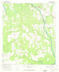
1970 Map of Saffold
USGS Topo · Published 1972About this map
The Chattahoochee River serves as the dominant geographical and political axis for this tri-state borderland where Alabama, Georgia, and Florida converge. In the early 1970s, the riverbanks remained primarily rural, characterized by the dense wetlands of The Turnpike Swamp and the winding course of Cypress Creek. The Seaboard Coast Line railroad crosses the river near Alaga, connecting the small settlements of Saffold and Kirkland.
Find a feature on this map
30 named features on this map. Tap any name to fly to it.
Don’t see what you’re looking for? This feature index may not catch every label — zoom into the map to look around manually.
Map Details
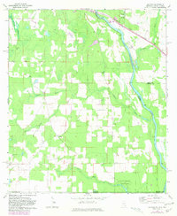
Editions of this 1970 Saffold Map
2 editions found
Other maps of this area

1952 · Malone
USGS Topo · 1:24,000

1952 · Bascom
USGS Topo · 1:24,000

1953 · Dothan
USGS Topo · 1:250,000

1954 · Dothan
USGS Topo · 1:250,000

1954 · Steam Mill
USGS Topo · 1:24,000

1954 · Tallahassee
USGS Topo · 1:250,000

1955 · Dothan
USGS Topo · 1:250,000

1959 · Tallahassee
USGS Topo · 1:250,000

1960 · Tallahassee
USGS Topo · 1:250,000

1970 · Gordon
USGS Topo · 1:24,000