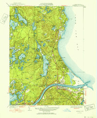
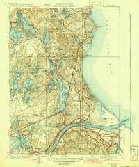
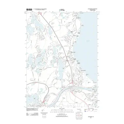
1951 Map of Sagamore
USGS Topo · Published 1952About this map
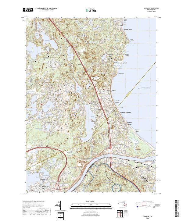
The Cape Cod Bay coastline and the gateway to the Cape are defined by the critical infrastructure of the mid-century, including the Sagamore Bridge and Bourne Bridge. These spans cross the canal near the settlement of Sagamore, providing a vital link for the growing coastal communities of Sagamore Beach and Sagamore Highlands. To the south, the massive footprint of the Camp Edwards Military Reservation occupies a significant portion of the landscape, while the northern reaches transitions into the dense woodlands and numerous glacial kettles of Myles Standish State Forest.
Find a feature on this map
111 named features on this map. Tap any name to fly to it.
Don’t see what you’re looking for? This feature index may not catch every label — zoom into the map to look around manually.
Map Details
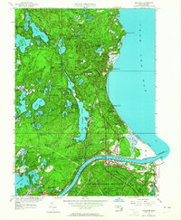
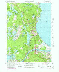
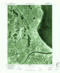
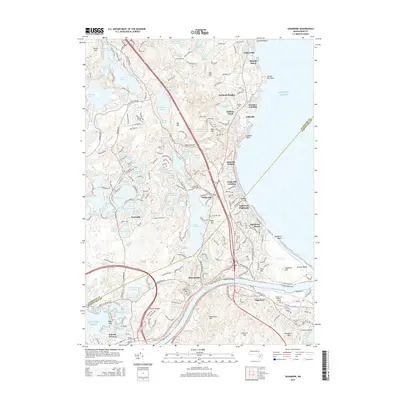
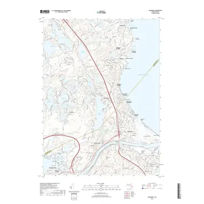
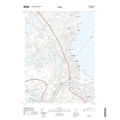
Editions of this 1951 Sagamore Map
4 editions found
Historical Maps of Plymouth Through Time
10 maps found
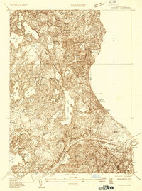
1933 Sagamore
Barnstable County, MA
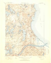
1940 Sagamore
Barnstable County, MA
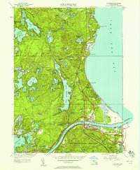
1951 Sagamore
Barnstable County, MA
1967 Sagamore
Barnstable County, MA
1977 Sagamore
Barnstable County, MA
2012 Sagamore
Barnstable County, MA
2015 Sagamore
Barnstable County, MA
2018 Sagamore
Barnstable County, MA
2021 Sagamore
Barnstable County, MA
2024 Sagamore
Barnstable County, MA