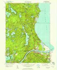
1951 Map of Sagamore
USGS Topo · Published 1958About this map
Great Herring Pond and the Cape Cod Canal dominate this mid-century landscape where the Plymouth and Barnstable county lines meet. The terrain is a complex glacial mosaic of kettle ponds and bogs, including Long Pond, Halfway Pond, and specialized agricultural sites like Ellis Bog and Tays Bog. In the southern portion, the Camp Edwards Military Reservation occupies a significant tract of land, adjacent to the growing residential footprints of Sagamore and Bournedale.
Find a feature on this map
110 named features on this map. Tap any name to fly to it.
Don’t see what you’re looking for? This feature index may not catch every label — zoom into the map to look around manually.
Map Details
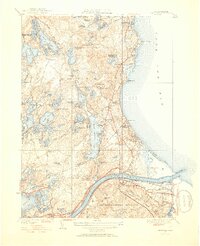
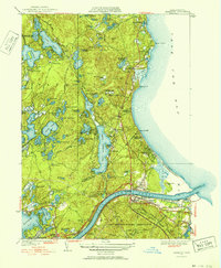
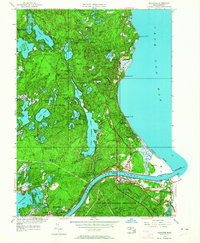
Editions of this 1951 Sagamore Map
4 editions found
Other maps of this area

1886 · Falmouth
USGS Topo · 1:62,500

1886 · Plymouth
USGS Topo · 1:62,500

1888 · Barnstable
USGS Topo · 1:62,500

1888 · Falmouth
USGS Topo · 1:62,500

1889 · Plymouth
USGS Topo · 1:62,500

1893 · Barnstable
USGS Topo · 1:62,500

1893 · Falmouth
USGS Topo · 1:62,500

1894 · Plymouth
USGS Topo · 1:62,500

1915 · Falmouth
USGS Topo · 1:62,500

1920 · Falmouth
USGS Topo · 1:62,500