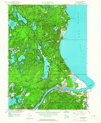
1951 Map of Sagamore
USGS Topo · Published 1964About this map
The Cape Cod Canal bisects this coastal landscape, serving as the dominant engineering feature connecting Cape Cod Bay to the western waters. At the center of the survey, the Sagamore Bridge carries traffic over the waterway, linking the village of Sagamore to the mainland. The area is defined by a dense concentration of kettle ponds, including the expansive Great Herring Pond and the smaller Little Herring Pond. To the south, the Camp Edwards Military Reservation occupies a significant portion of the terrain, while the New York New Haven and Hartford railroad line traces the canal's southern bank.
Find a feature on this map
72 named features on this map. Tap any name to fly to it.
Don’t see what you’re looking for? This feature index may not catch every label — zoom into the map to look around manually.
Map Details
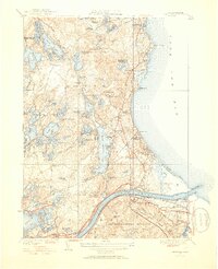
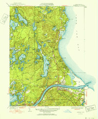
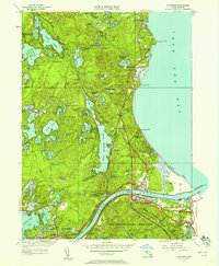
Editions of this 1951 Sagamore Map
4 editions found
Other maps of this area

1886 · Falmouth
USGS Topo · 1:62,500

1886 · Plymouth
USGS Topo · 1:62,500

1888 · Barnstable
USGS Topo · 1:62,500

1888 · Falmouth
USGS Topo · 1:62,500

1889 · Plymouth
USGS Topo · 1:62,500

1893 · Barnstable
USGS Topo · 1:62,500

1893 · Falmouth
USGS Topo · 1:62,500

1894 · Plymouth
USGS Topo · 1:62,500

1915 · Falmouth
USGS Topo · 1:62,500

1920 · Falmouth
USGS Topo · 1:62,500