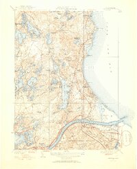
1951 Map of Sagamore
USGS Topo · Published 1952About this map
Long Pond and Great Herring Pond dominate a landscape of kettle ponds and cranberry bogs along the gateway to Cape Cod in the early 1950s. The map illustrates the industrial and military heritage of the region, featuring the Bournedale Foundry Pond and the expansive Camp Edwards Military Reservation. Coastal communities like Sagamore Beach, Ellisville, and Cedarville line the shores of Cape Cod Bay, connected by historic routes like Old Sandwich Road.
Find a feature on this map
102 named features on this map. Tap any name to fly to it.
Don’t see what you’re looking for? This feature index may not catch every label — zoom into the map to look around manually.
Map Details
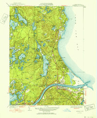
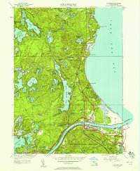
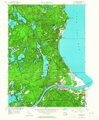
Editions of this 1951 Sagamore Map
4 editions found
Other maps of this area

1886 · Falmouth
USGS Topo · 1:62,500

1886 · Plymouth
USGS Topo · 1:62,500

1888 · Barnstable
USGS Topo · 1:62,500

1888 · Falmouth
USGS Topo · 1:62,500

1889 · Plymouth
USGS Topo · 1:62,500

1893 · Barnstable
USGS Topo · 1:62,500

1893 · Falmouth
USGS Topo · 1:62,500

1894 · Plymouth
USGS Topo · 1:62,500

1915 · Falmouth
USGS Topo · 1:62,500

1920 · Falmouth
USGS Topo · 1:62,500