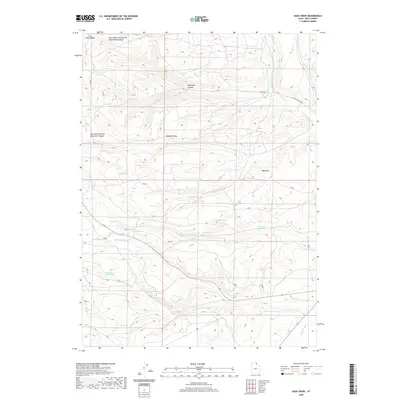
2020 Map of Sage Creek
USGS Topo · Published 2020About this map
Hogback Ridge and the complex drainage systems of the Bear Lake plateau define this area of Rich County. This landscape is a network of named springs and seasonal watercourses that reflect the vital importance of water management in this high-altitude terrain. Notable water sources such as Rabbit Spring, Hidden Spring, and Bull Spring dot the hillsides, feeding into larger systems like Sixmile Cr and Duck Cr.
Find a feature on this map
25 named features on this map. Tap any name to fly to it.
Don’t see what you’re looking for? This feature index may not catch every label — zoom into the map to look around manually.
Map Details
Editions of this 2020 Sage Creek Map
This is the sole edition of this map. No revisions or reprints were ever made.
Other maps of this area

1912 · Randolph
USGS Topo · 1:125,000

1954 · Ogden
USGS Topo · 1:250,000

1958 · Ogden
USGS Topo · 1:250,000

1960 · Ogden
USGS Topo · 1:250,000

1968 · Rex Peak
USGS Topo · 1:24,000

1968 · Randolph
USGS Topo · 1:24,000

1969 · Sheeppen Creek
USGS Topo · 1:24,000
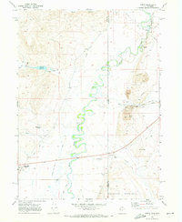
1969 · Leefe
USGS Topo · 1:24,000
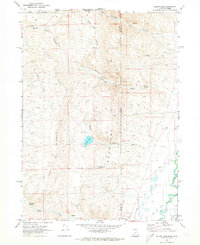
1969 · South Lake
USGS Topo · 1:24,000
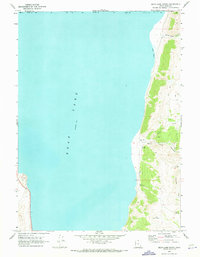
1969 · Bear Lake South
USGS Topo · 1:24,000