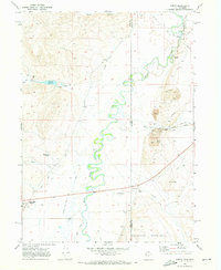
1969 Map of Leefe
USGS Topo · Published 1973About this map
Bear River meanders in tight, serpentine oxbows through this borderland where Utah meets Wyoming, defining a landscape of high-altitude water management and industrial extraction. On the Wyoming side, the settlement of Leefe serves as a hub for local mining operations, evidenced by numerous Mines, a Mine Dump, and a large Tailings Pond adjacent to the Union Pacific railroad line. The presence of a Landing Strip and multiple Gaging Stations along the river highlights the logistical and agricultural importance of this corridor in the late 1960s.
Find a feature on this map
36 named features on this map. Tap any name to fly to it.
Don’t see what you’re looking for? This feature index may not catch every label — zoom into the map to look around manually.
Map Details
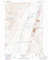
Editions of this 1969 Leefe Map
2 editions found
Other maps of this area

1912 · Randolph
USGS Topo · 1:125,000

1954 · Sage
USGS Topo · 1:62,500

1954 · Ogden
USGS Topo · 1:250,000

1958 · Ogden
USGS Topo · 1:250,000

1960 · Ogden
USGS Topo · 1:250,000

1962 · Windy Point
USGS Topo · 1:24,000

1968 · Rex Peak
USGS Topo · 1:24,000

1968 · Randolph
USGS Topo · 1:24,000

1969 · Sheeppen Creek
USGS Topo · 1:24,000
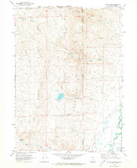
1969 · South Lake
USGS Topo · 1:24,000