1962 Map of Windy Point
USGS Topo · Published 1965About this map
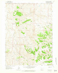
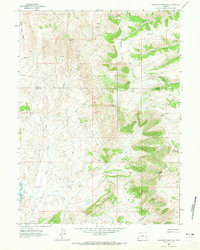
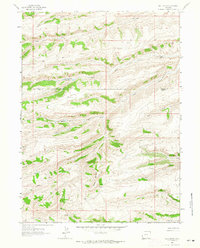
Sillem Ridge and the prominent overlook at Windy Point define the high country of Lincoln County in the early 1960s. This survey of the Bridger Basin reveals a landscape managed for water and livestock transit, characterized by numerous small catchments like White Rock Pit Reservoir, Lag Reservoir, and the uniquely named Question Mark Reservoir. These features, coupled with the frequent presence of Spring and Springs across the slopes, suggest a high-desert environment where every water source was critical for range management.
Find a feature on this map
23 named features on this map. Tap any name to fly to it.
Don’t see what you’re looking for? This feature index may not catch every label — zoom into the map to look around manually.
Map Details
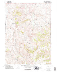
Editions of this 1962 Windy Point Map
2 editions found
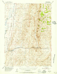
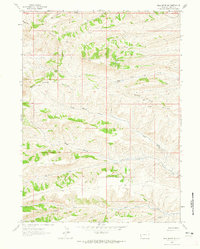
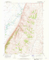
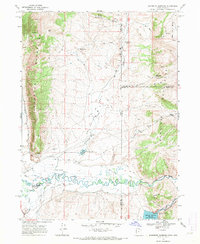
Other maps of this area

1912 · Randolph
USGS Topo · 1:125,000
1954 · Sage
USGS Topo · 1:62,500

1954 · Ogden
USGS Topo · 1:250,000

1958 · Ogden
USGS Topo · 1:250,000

1960 · Ogden
USGS Topo · 1:250,000
1962 · Bell Butte NE
USGS Topo · 1:24,000
1962 · Sawtooth Mountain
USGS Topo · 1:24,000
1962 · Bell Butte
USGS Topo · 1:24,000
1968 · Rex Peak
USGS Topo · 1:24,000
1968 · Woodruff Narrows
USGS Topo · 1:24,000