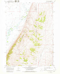
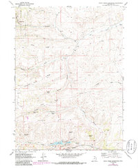
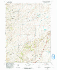
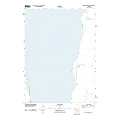
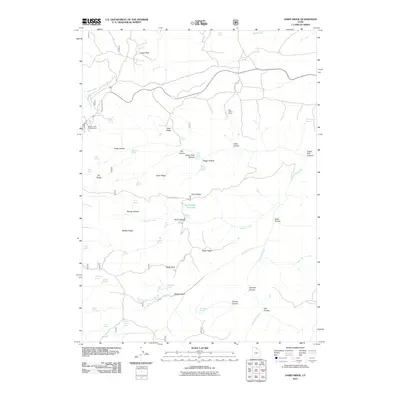
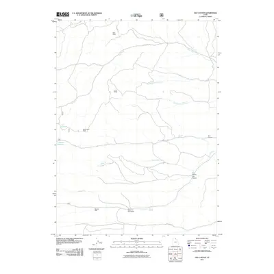
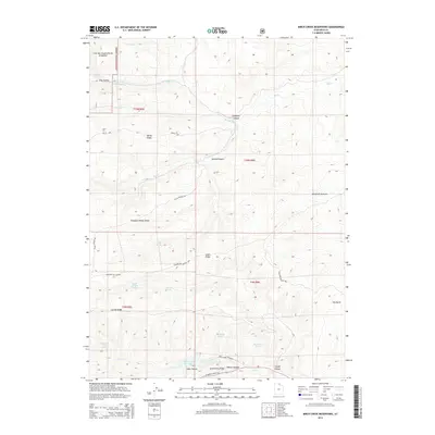
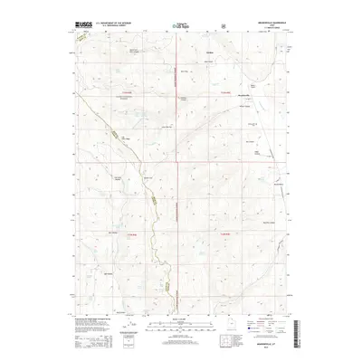
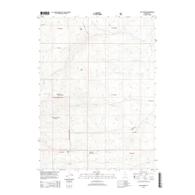
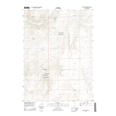
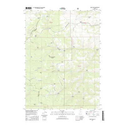
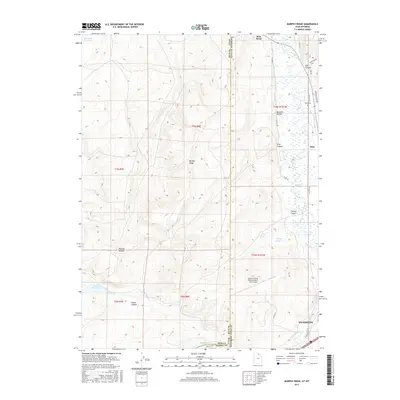
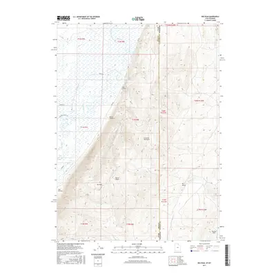
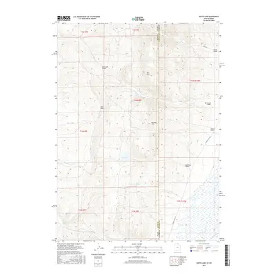
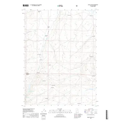
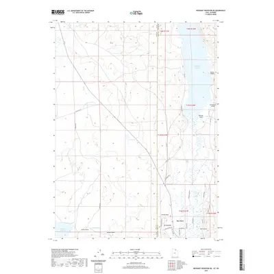
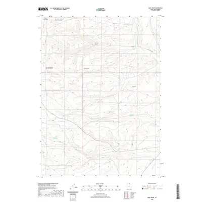
1969 Map of Leefe
USGS Topo · Published 1986About this map
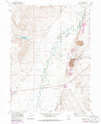
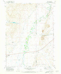
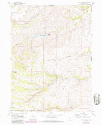
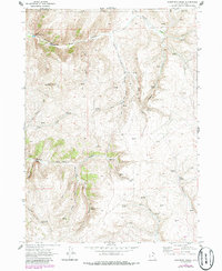
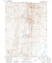
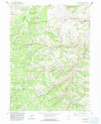
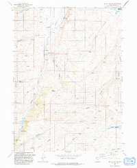
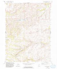
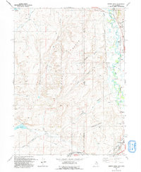
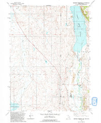
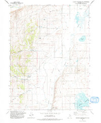
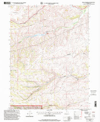
The Bear River winds through this high-altitude landscape where the borders of Utah and Wyoming meet. At the time of this 1969 field check, the industrial presence of the Union Pacific railroad and the settlement of Leefe anchored the northeastern corner of the map. The landscape is defined by the intersection of water management and transit, with irrigation infrastructure like the Mc Farland Ditch and Twin Creek Ditch cutting across the terrain to support local livestock or agriculture. The western reaches are dominated by the rising slopes of the Crawford Mountains, while the central valley floor contains the marshy reaches of Rabbit Creek and Duck Creek. Industrial activity is evident near the rail line, marked by a Tailings Pond and Gravel Pit, reflecting the area's mineral extraction history during the late 20th century.
Find a feature on this map
28 named features on this map. Tap any name to fly to it.
Don’t see what you’re looking for? This feature index may not catch every label — zoom into the map to look around manually.
Map Details
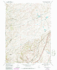
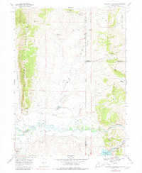
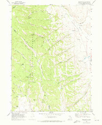
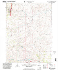
Editions of this 1969 Leefe Map
2 editions found
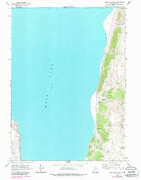
Historical Maps of Lincoln County Through Time
106 maps found
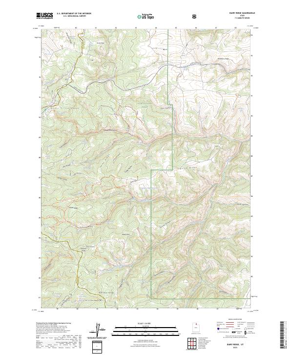
1968 Dairy Ridge
Rich County, UT
1968 Mc Kay Hollow
Rich County, UT
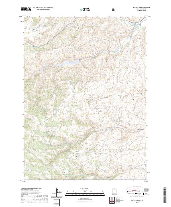
1968 Meachum Ridge
Rich County, UT
1968 Murphy Ridge
Rich County, UT
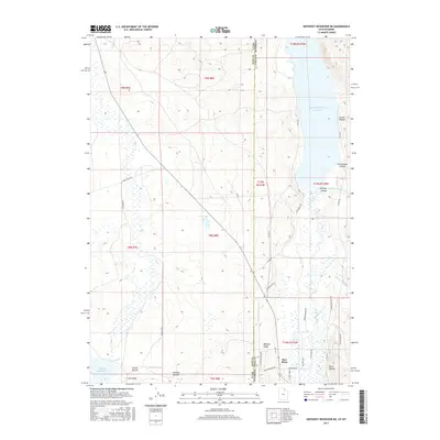
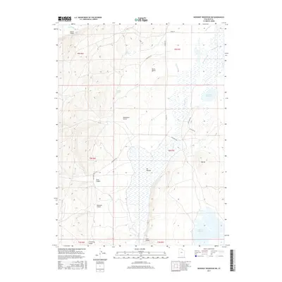
1968 Neponset Reservoir NE
Rich County, UT
1968 Neponset Reservoir NW
Rich County, UT
1968 Rex Peak
Rich County, UT
1968 Shearing Corral
Rich County, UT
1968 Woodruff Narrows
Rich County, UT
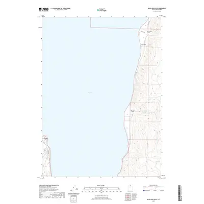
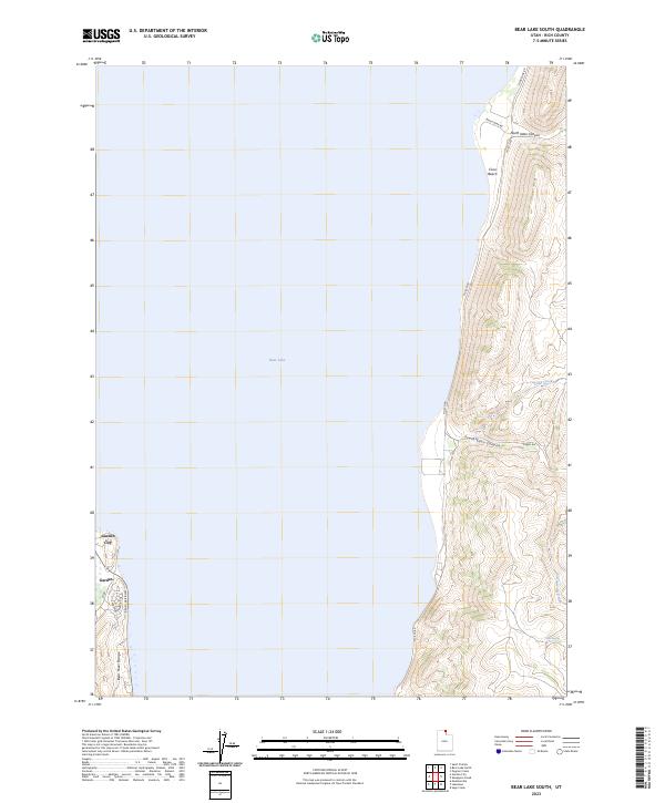
1969 Bear Lake South
Rich County, UT
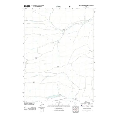
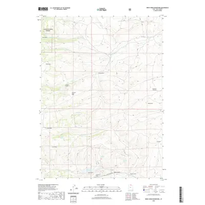
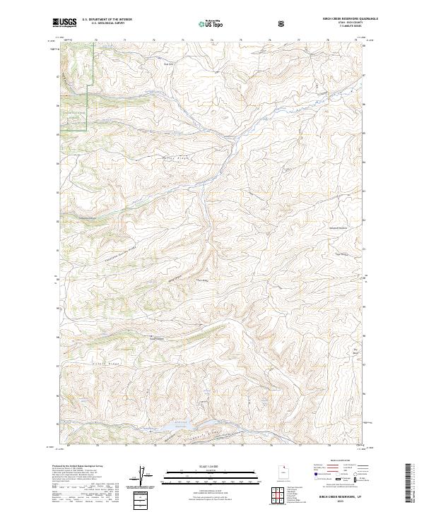
1969 Birch Creek Reservoirs
Rich County, UT
1969 Leefe
Rich County, UT
1969 Meadowville
Rich County, UT
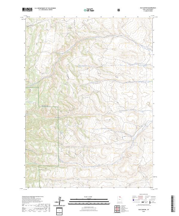
1969 Old Canyon
Rich County, UT
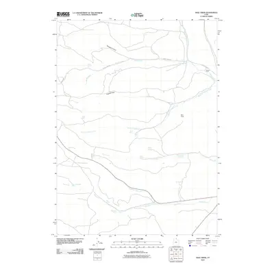
1969 Sage Creek
Rich County, UT
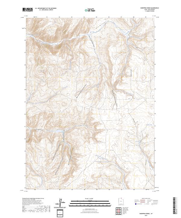
1969 Sheeppen Creek
Rich County, UT
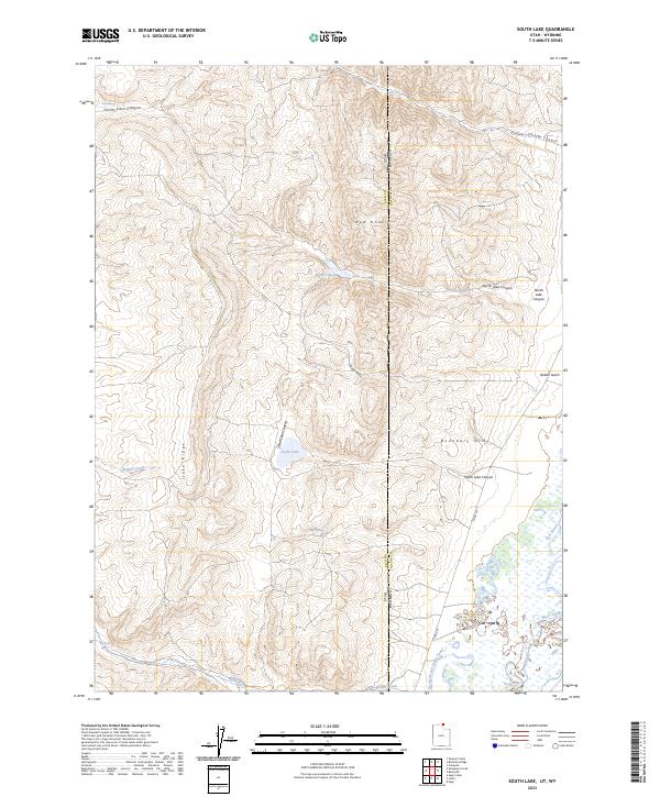
1969 South Lake
Rich County, UT
1991 Dairy Ridge
Rich County, UT
1991 Mc Kay Hollow
Rich County, UT
1991 Meachum Ridge
Rich County, UT
1991 Murphy Ridge
Rich County, UT
1991 Neponset Reservoir NE
Rich County, UT
1991 Neponset Reservoir NW
Rich County, UT
1991 Shearing Corral
Rich County, UT
1998 Birch Creek Reservoirs
Rich County, UT
1998 Dairy Ridge
Rich County, UT
1998 Mc Kay Hollow
Rich County, UT
1998 Meachum Ridge
Rich County, UT
1998 Meadowville
Rich County, UT
1998 Old Canyon
Rich County, UT
1998 Shearing Corral
Rich County, UT
2010 Bear Lake South
Rich County, UT
2010 Murphy Ridge
Rich County, UT
2010 Neponset Reservoir NE
Rich County, UT
2010 Neponset Reservoir NW
Rich County, UT
2010 Sage Creek
Rich County, UT
2010 Sheeppen Creek
Rich County, UT
2010 South Lake
Rich County, UT
2011 Birch Creek Reservoirs
Rich County, UT
2011 Dairy Ridge
Rich County, UT
2011 McKay Hollow
Rich County, UT
2011 Meachum Ridge
Rich County, UT
2011 Meadowville
Rich County, UT
2011 Old Canyon
Rich County, UT
2011 Rex Peak
Rich County, UT
2011 Shearing Corral
Rich County, UT
2014 Bear Lake South
Rich County, UT
2014 Birch Creek Reservoirs
Rich County, UT
2014 Dairy Ridge
Rich County, UT
2014 McKay Hollow
Rich County, UT
2014 Meachum Ridge
Rich County, UT
2014 Meadowville
Rich County, UT
2014 Murphy Ridge
Rich County, UT
2014 Neponset Reservoir NE
Rich County, UT
2014 Neponset Reservoir NW
Rich County, UT
2014 Old Canyon
Rich County, UT
2014 Rex Peak
Rich County, UT
2014 Sage Creek
Rich County, UT
2014 Shearing Corral
Rich County, UT
2014 Sheeppen Creek
Rich County, UT
2014 South Lake
Rich County, UT
2017 Bear Lake South
Rich County, UT
2017 Birch Creek Reservoirs
Rich County, UT
2017 Dairy Ridge
Rich County, UT
2017 McKay Hollow
Rich County, UT
2017 Meachum Ridge
Rich County, UT
2017 Meadowville
Rich County, UT
2017 Murphy Ridge
Rich County, UT
2017 Neponset Reservoir NE
Rich County, UT
2017 Neponset Reservoir NW
Rich County, UT
2017 Old Canyon
Rich County, UT
2017 Rex Peak
Rich County, UT
2017 Sage Creek
Rich County, UT
2017 Shearing Corral
Rich County, UT
2017 Sheeppen Creek
Rich County, UT
2017 South Lake
Rich County, UT
2020 Bear Lake South
Rich County, UT
2020 Birch Creek Reservoirs
Rich County, UT
2020 Dairy Ridge
Rich County, UT
2020 McKay Hollow
Rich County, UT
2020 Meachum Ridge
Rich County, UT
2020 Meadowville
Rich County, UT
2020 Murphy Ridge
Rich County, UT
2020 Neponset Reservoir NE
Rich County, UT
2020 Neponset Reservoir NW
Rich County, UT
2020 Old Canyon
Rich County, UT
2020 Rex Peak
Rich County, UT
2020 Sage Creek
Rich County, UT
2020 Shearing Corral
Rich County, UT
2020 Sheeppen Creek
Rich County, UT
2020 South Lake
Rich County, UT
2023 Bear Lake South
Rich County, UT
2023 Birch Creek Reservoirs
Rich County, UT
2023 Dairy Ridge
Rich County, UT

2023 McKay Hollow
Rich County, UT
2023 Meachum Ridge
Rich County, UT
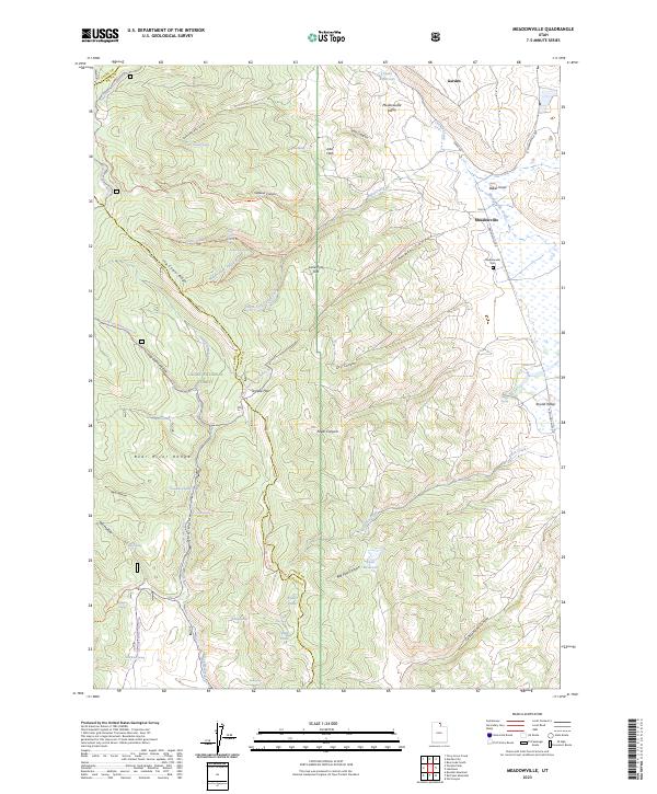
2023 Meadowville
Rich County, UT
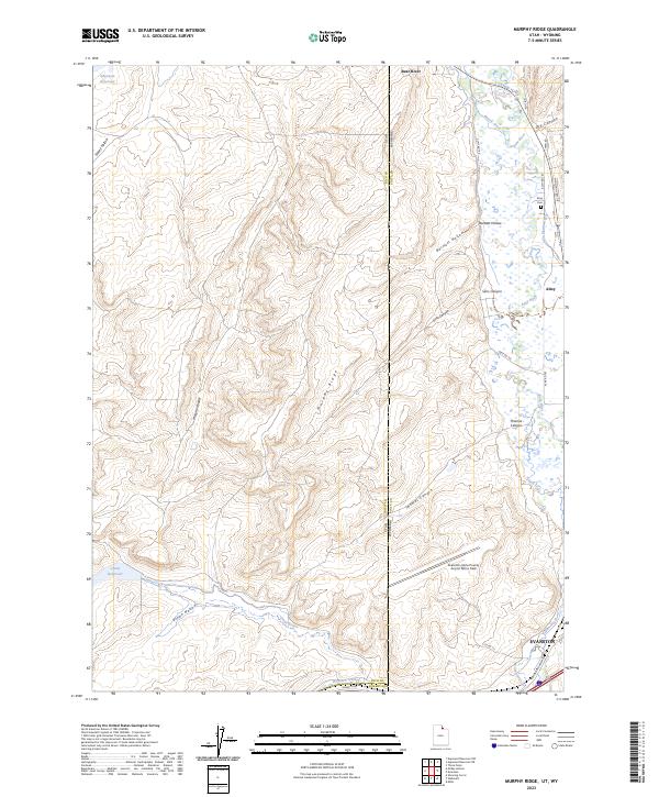
2023 Murphy Ridge
Rich County, UT
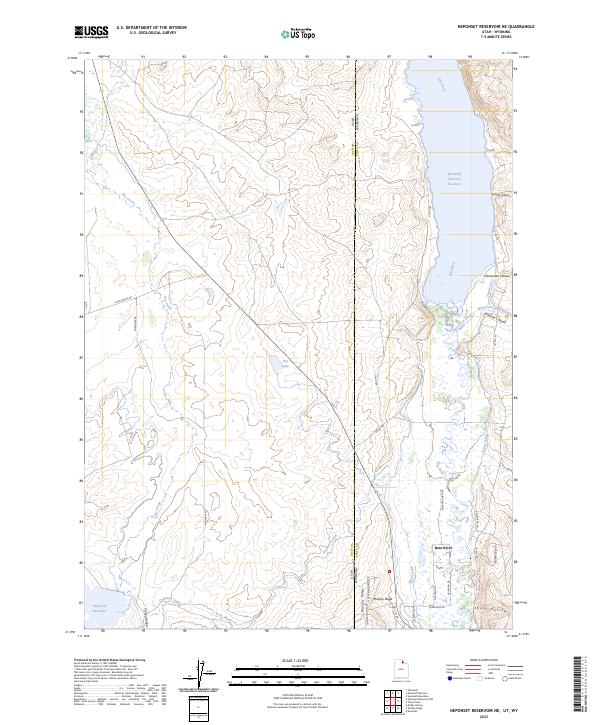
2023 Neponset Reservoir NE
Rich County, UT
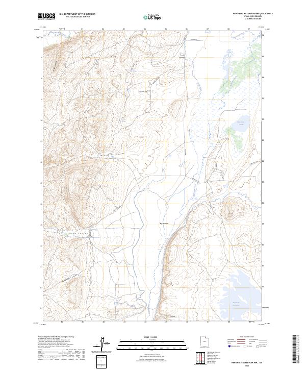
2023 Neponset Reservoir NW
Rich County, UT
2023 Old Canyon
Rich County, UT
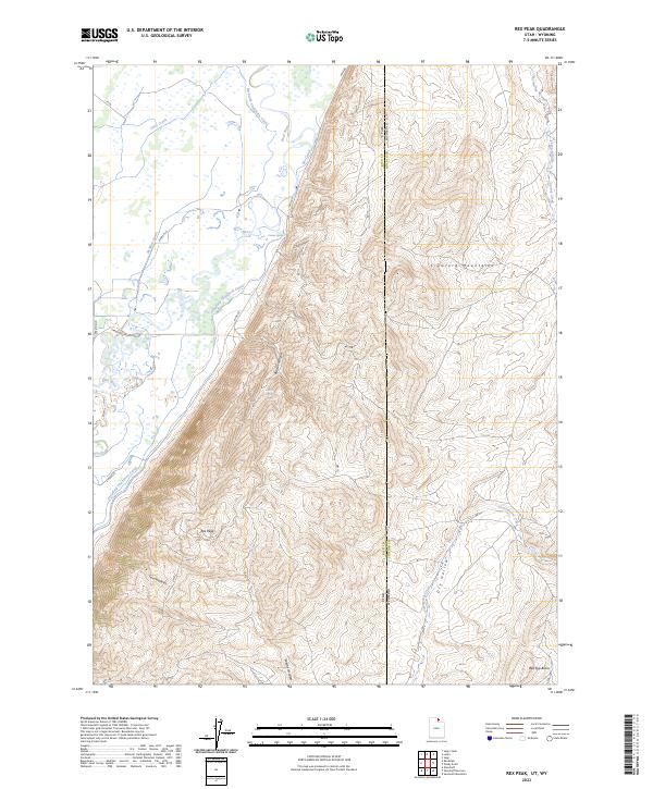
2023 Rex Peak
Rich County, UT
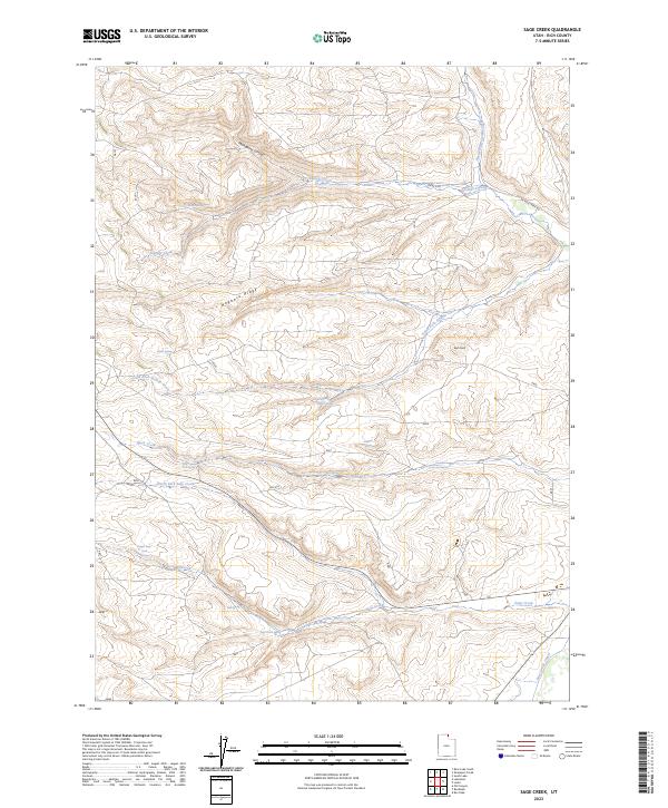
2023 Sage Creek
Rich County, UT
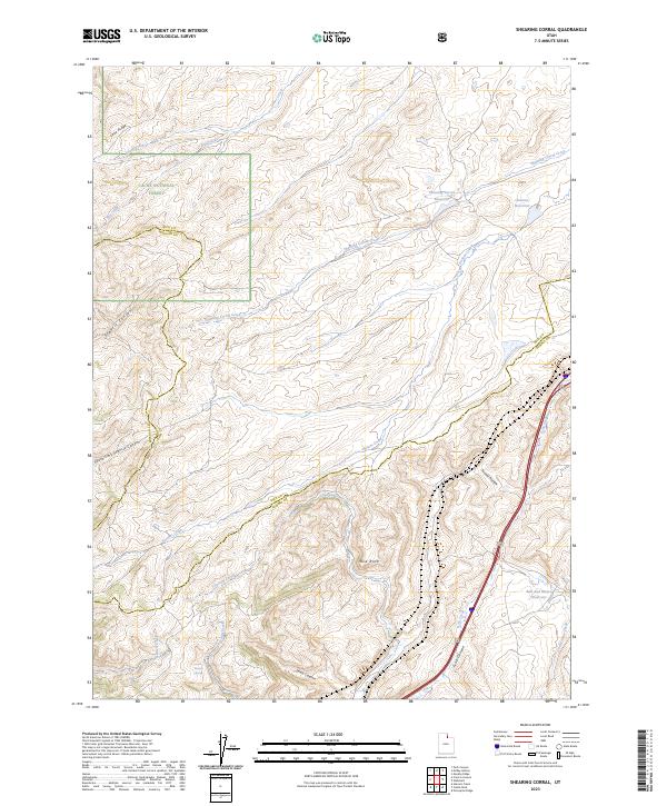
2023 Shearing Corral
Rich County, UT
2023 Sheeppen Creek
Rich County, UT
2023 South Lake
Rich County, UT