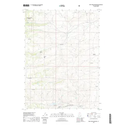
2020 Map of Birch Creek Reservoirs
USGS Topo · Published 2020About this map
Birch Creek Reservoirs anchor the southern portion of this high-elevation landscape in Rich County, where the terrain transitions from the protected timber of Cache National Forest into open ranching and grazing lands. The topography is defined by a series of prominent northwest-trending elevations, most notably Thousand Dollar Ridge and Lewis Ridge, which separate the various drainage basins. Hydrology plays a critical role in this arid environment, with numerous named water sources including Woodruff Spring, Putman Spring, and the Beaver Pond Spring providing vital points for livestock and wildlife. The map captures a traditional western mountain-and-valley economy, where seasonal grazing at Woodruff Pastures and travel along Big Creek Rd and Monte Cristo Rd connect the high ridges to the surrounding valley settlements.
Find a feature on this map
30 named features on this map. Tap any name to fly to it.
Don’t see what you’re looking for? This feature index may not catch every label — zoom into the map to look around manually.
Map Details
Editions of this 2020 Birch Creek Reservoirs Map
This is the sole edition of this map. No revisions or reprints were ever made.
Other maps of this area
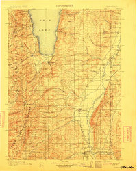
1912 · Randolph
USGS Topo · 1:125,000

1954 · Ogden
USGS Topo · 1:250,000

1958 · Ogden
USGS Topo · 1:250,000

1960 · Ogden
USGS Topo · 1:250,000
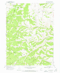
1968 · Dairy Ridge
USGS Topo · 1:24,000
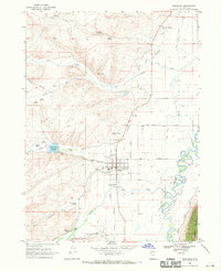
1968 · Randolph
USGS Topo · 1:24,000
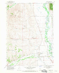
1968 · Woodruff
USGS Topo · 1:24,000
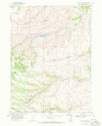
1968 · Meachum Ridge
USGS Topo · 1:24,000
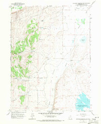
1968 · Neponset Reservoir NW
USGS Topo · 1:24,000
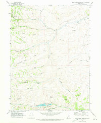
1969 · Birch Creek Reservoirs
USGS Topo · 1:24,000