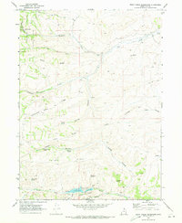
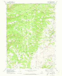
1969 Map of Birch Creek Reservoirs
USGS Topo · Published 1973About this map
Cache National Forest borders the western edge of this 1969 survey, where a complex network of high-elevation ridges and canyons defines the Rich County landscape. The topography is dominated by prominent landforms such as Thousand Dollar Ridge and Lewis Ridge, which separate various drainage systems including Randolph Creek and Big Canyon Creek. This era of land management is evidenced by the numerous named water sources critical for livestock and wildlife, including Putman Spring, Trough Spring, and Woodruff Spring.
Find a feature on this map
30 named features on this map. Tap any name to fly to it.
Don’t see what you’re looking for? This feature index may not catch every label — zoom into the map to look around manually.
Map Details
Editions of this 1969 Birch Creek Reservoirs Map
3 editions found
Other maps of this area

1912 · Randolph
USGS Topo · 1:125,000

1954 · Ogden
USGS Topo · 1:250,000

1958 · Ogden
USGS Topo · 1:250,000

1960 · Ogden
USGS Topo · 1:250,000

1968 · Dairy Ridge
USGS Topo · 1:24,000

1968 · Randolph
USGS Topo · 1:24,000

1968 · Woodruff
USGS Topo · 1:24,000

1968 · Meachum Ridge
USGS Topo · 1:24,000
1968 · Neponset Reservoir NW
USGS Topo · 1:24,000
1969 · Curtis Ridge
USGS Topo · 1:24,000