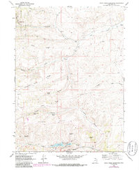
1969 Map of Birch Creek Reservoirs
USGS Topo · Published 1986About this map
Wasatch National Forest occupies the western heights of this high-country landscape, where the boundary between Cache and Rich counties traverses the headwaters of the Bear River drainage. The 1969 field-checked data, updated in the early 1980s, reveals a terrain defined by seasonal springs and strategic water management. The Birch Creek Reservoirs and the small settlement of Walton serve as focal points for the local ranching and water infrastructure, supported by a network of jeep trails crossing prominent landforms like Thousand Dollar Ridge and Lewis Ridge. The presence of several named water sources, including Red Springs and Putman Spring, illustrates the critical importance of riparian access in this arid high-elevation environment. Mapping of the Gaging Station on Big Creek and various Gravel Pit sites indicates the active management of resources in the late twentieth century.
Find a feature on this map
35 named features on this map. Tap any name to fly to it.
Don’t see what you’re looking for? This feature index may not catch every label — zoom into the map to look around manually.
Map Details
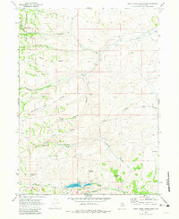
Editions of this 1969 Birch Creek Reservoirs Map
3 editions found
Other maps of this area

1912 · Randolph
USGS Topo · 1:125,000

1954 · Ogden
USGS Topo · 1:250,000

1958 · Ogden
USGS Topo · 1:250,000

1960 · Ogden
USGS Topo · 1:250,000

1968 · Dairy Ridge
USGS Topo · 1:24,000

1968 · Randolph
USGS Topo · 1:24,000

1968 · Woodruff
USGS Topo · 1:24,000

1968 · Meachum Ridge
USGS Topo · 1:24,000
1968 · Neponset Reservoir NW
USGS Topo · 1:24,000
1969 · Birch Creek Reservoirs
USGS Topo · 1:24,000