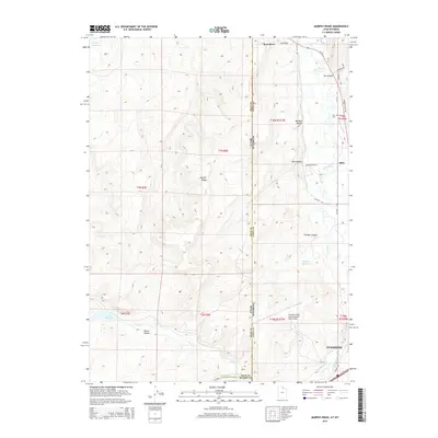
2014 Map of Murphy Ridge
USGS Topo · Published 2014About this map
Murphy Ridge dominates the center of this Wyoming-Utah borderland, where the high-plains geography is defined by a complex network of canyons and reservoirs. The landscape of Uinta County is marked by its vital water sources, including the Bear River and Chesney Reservoir, which support the high-desert environment. In the eastern portion of the map, the settlement of Almy sits along the river valley, north of the expanding footprint of Evanston. This map provides a look at the modern transport and aviation infrastructure of the region, anchored by the Evanston-Uinta County Airport - Burns Field and a series of county roads like Wasatch Rd and WY-89. For those interested in local history, the Almy Cem and named geographic features like Sims Canyon and Bartlett Hollow offer specific points of reference for tracing the development of this border region.
Find a feature on this map
41 named features on this map. Tap any name to fly to it.
Don’t see what you’re looking for? This feature index may not catch every label — zoom into the map to look around manually.
Map Details
Editions of this 2014 Murphy Ridge Map
This is the sole edition of this map. No revisions or reprints were ever made.
Other maps of this area

1954 · Ogden
USGS Topo · 1:250,000

1958 · Ogden
USGS Topo · 1:250,000

1960 · Ogden
USGS Topo · 1:250,000

1965 · Evanston
USGS Topo · 1:24,000

1965 · Three Forks
USGS Topo · 1:24,000

1965 · Millis
USGS Topo · 1:24,000

1968 · Wahsatch
USGS Topo · 1:24,000

1968 · Shearing Corral
USGS Topo · 1:24,000

1968 · Mc Kay Hollow
USGS Topo · 1:24,000

1968 · Neponset Reservoir NE
USGS Topo · 1:24,000