
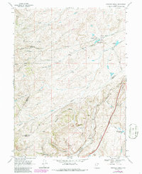
1968 Map of Shearing Corral
USGS Topo · Published 1970About this map
Union Pacific rail lines carve through the southeastern corner of this terrain, following the dramatic path of Echo Canyon. This 1968 field-checked survey reveals a landscape of high-country drainage and industrial utility where Rich, Summit, and Morgan counties meet. The presence of the Pumping Sta and a network of Pipelines near Shearing Corral Reservoir indicates the infrastructure required for water management and livestock operations in the Cache National Forest.
Find a feature on this map
30 named features on this map. Tap any name to fly to it.
Don’t see what you’re looking for? This feature index may not catch every label — zoom into the map to look around manually.
Map Details
Editions of this 1968 Shearing Corral Map
2 editions found
Other maps of this area

1954 · Ogden
USGS Topo · 1:250,000

1958 · Ogden
USGS Topo · 1:250,000

1960 · Ogden
USGS Topo · 1:250,000

1964 · Francis Canyon
USGS Topo · 1:24,000
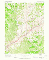
1964 · Heiners Creek
USGS Topo · 1:24,000

1968 · Wahsatch
USGS Topo · 1:24,000
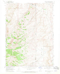
1968 · Porcupine Ridge
USGS Topo · 1:24,000

1968 · Mc Kay Hollow
USGS Topo · 1:24,000

1968 · Peck Canyon
USGS Topo · 1:24,000
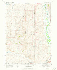
1968 · Murphy Ridge
USGS Topo · 1:24,000