
1965 Map of Evanston
USGS Topo · Published 1968About this map
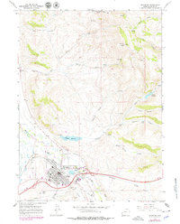
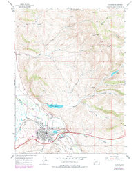
Evanston serves as a critical transportation and institutional hub on the high plains of southwestern Wyoming, positioned where the Union Pacific Railroad follows the winding course of the Bear River. The 1960s landscape reveals the town's expanding infrastructure, including the Evanston Municipal Airport and a centralized industrial-commercial core featuring a Drive-in Theater and the State Hosp campus. Water management is a primary theme of the terrain, visible through the City Aqueduct and reservoirs like Crompton Reservoir and Painter Reservoir that dot the surrounding draws.
Find a feature on this map
36 named features on this map. Tap any name to fly to it.
Don’t see what you’re looking for? This feature index may not catch every label — zoom into the map to look around manually.
Map Details
Editions of this 1965 Evanston Map
3 editions found
Other maps of this area

1954 · Ogden
USGS Topo · 1:250,000

1958 · Ogden
USGS Topo · 1:250,000

1960 · Ogden
USGS Topo · 1:250,000

1965 · Little Dee Creek
USGS Topo · 1:24,000

1965 · Sulphur Creek Reservoir
USGS Topo · 1:24,000

1965 · Guild Hollow
USGS Topo · 1:24,000

1965 · Three Forks
USGS Topo · 1:24,000

1965 · Millis
USGS Topo · 1:24,000

1968 · Wahsatch
USGS Topo · 1:24,000

1968 · Neponset Reservoir NE
USGS Topo · 1:24,000