
1965 Map of Guild Hollow
USGS Topo · Published 1968About this map
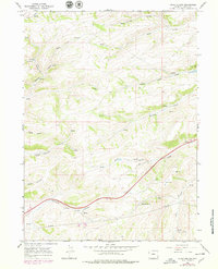
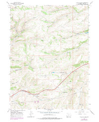
Byrne Creek and its tributary Little Byrne Creek carve through this section of Uinta County, Wyoming, reflecting a landscape defined by water sources and grazing land in the mid-1960s. The area is dotted with numerous springs, including Crompton Spring, which were vital for local livestock in this high-elevation terrain. Transportation and infrastructure are represented by a network of pipelines and several jeep trails that traverse the ridges between Long Hollow and Robinson Hollow. Evidence of local industry and communication appears in the southern portion of the map, where a mine, drill holes, and a gravel pit are located near Albert Creek, alongside prominent radio towers. The inclusion of a Picnic Area suggests a level of recreational utility amidst the working landscape of Guild Hollow and Duncomb Hollow.
Find a feature on this map
27 named features on this map. Tap any name to fly to it.
Don’t see what you’re looking for? This feature index may not catch every label — zoom into the map to look around manually.
Map Details
Editions of this 1965 Guild Hollow Map
3 editions found
Other maps of this area

1954 · Ogden
USGS Topo · 1:250,000

1958 · Ogden
USGS Topo · 1:250,000

1960 · Ogden
USGS Topo · 1:250,000

1965 · Evanston
USGS Topo · 1:24,000

1965 · Ragan
USGS Topo · 1:24,000

1965 · Little Dee Creek
USGS Topo · 1:24,000

1965 · Meadow Draw
USGS Topo · 1:24,000

1965 · Sulphur Creek Reservoir
USGS Topo · 1:24,000

1965 · Three Forks
USGS Topo · 1:24,000

1965 · Millis
USGS Topo · 1:24,000