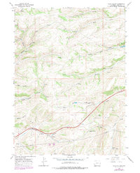
1965 Map of Guild Hollow
USGS Topo · Published 1979About this map
Guild Hollow and the surrounding Uinta County ranchlands are defined by a complex network of intermittent water sources and drainage systems as they appeared in the mid-1960s. The settlement of Feltner serves as a focal point near the intersection of various natural draws, including Robinson Hollow and Duncomb Hollow. The map reveals a landscape managed for resource extraction and transport, marked by industrial features like Gravel Pit, a Mine, and prominent Pipelines cutting across the terrain.
Find a feature on this map
25 named features on this map. Tap any name to fly to it.
Don’t see what you’re looking for? This feature index may not catch every label — zoom into the map to look around manually.
Map Details
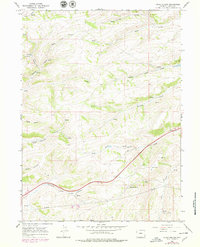
Editions of this 1965 Guild Hollow Map
3 editions found
Other maps of this area

1954 · Ogden
USGS Topo · 1:250,000

1958 · Ogden
USGS Topo · 1:250,000

1960 · Ogden
USGS Topo · 1:250,000

1965 · Evanston
USGS Topo · 1:24,000

1965 · Ragan
USGS Topo · 1:24,000

1965 · Little Dee Creek
USGS Topo · 1:24,000

1965 · Meadow Draw
USGS Topo · 1:24,000

1965 · Sulphur Creek Reservoir
USGS Topo · 1:24,000

1965 · Guild Hollow
USGS Topo · 1:24,000

1965 · Three Forks
USGS Topo · 1:24,000