
1965 Map of Little Dee Creek
USGS Topo · Published 1968About this map
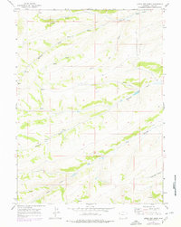
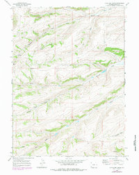
Ryckman Creek and Little Dee Creek define the high-elevation drainage patterns of this Uinta County landscape during the mid-1960s. The terrain is characterized by a series of significant water sources, including numerous isolated Spring and Springs locations that historically supported livestock and wildlife in this part of Wyoming. To the south, the map details the courses of Shurtleff Creek and Clear Creek, alongside the distinct topographical feature of Haystack Draw. This survey, based on 1964 aerial photography and field-checked in 1965, documents a period before significant modern development, showing the untouched character of the high-country watersheds and the precise placement of natural water features essential for regional land management.
Find a feature on this map
10 named features on this map. Tap any name to fly to it.
Don’t see what you’re looking for? This feature index may not catch every label — zoom into the map to look around manually.
Map Details
Editions of this 1965 Little Dee Creek Map
3 editions found
Other maps of this area

1954 · Ogden
USGS Topo · 1:250,000

1958 · Ogden
USGS Topo · 1:250,000

1960 · Ogden
USGS Topo · 1:250,000

1962 · Sawtooth Mountain
USGS Topo · 1:24,000

1962 · Elkol SW
USGS Topo · 1:24,000

1962 · Bell Butte
USGS Topo · 1:24,000

1965 · Evanston
USGS Topo · 1:24,000

1965 · Ragan
USGS Topo · 1:24,000

1965 · Meadow Draw
USGS Topo · 1:24,000

1965 · Guild Hollow
USGS Topo · 1:24,000