Loading...
Loading map...1965 Map of Evanston
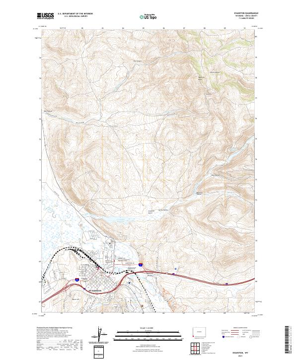
USGS Topo · Published 1979About this map
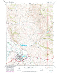
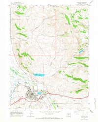
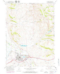
Evanston serves as the focal point of this Wyoming landscape during the mid-1960s, a period defined by its role as a transportation and institutional hub. The city is bisected by the Union Pacific railroad, which snakes through the valley alongside the meandering Bear River. Cultural and civic development is evident in the sprawling grounds of the State Hosp and the presence of modern mid-century infrastructure like the Drive-in Theater and Evanston Municipal Airport.
Find a feature on this map
37 named features on this map. Tap any name to fly to it.
Don’t see what you’re looking for? This feature index may not catch every label — zoom into the map to look around manually.
Map Details
Date Portrayed1965
Date Published1979
PublisherU.S. Geological Survey
Map TypeTopographic
Scale1:24,000
Physical Dimensions21.8 x 26.9 inches
Editions of this 1965 Evanston Map
3 editions found
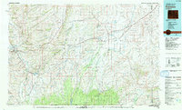
Historical Maps of Evanston Through Time
Featured Locations
Source Details
SourceU.S. Geological Survey
CopyrightPublic Domain