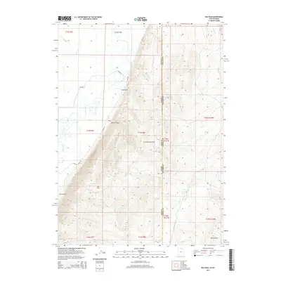
2014 Map of Rex Peak
USGS Topo · Published 2014About this map
The Crawford Mountains dominate this high-altitude landscape along the border of Utah and Wyoming, rising sharply above the western floodplains. The Bear River meanders through the western corridor, its natural flow augmented by the Rex Canal and several local water sources including Otter Cr and Larson Spring. This 2014 survey illustrates the complex relationship between the high ridge lines and the lower basin drainage, with Brazier Canyon cutting into the mountain face. Topographic details reveal a network of land management and transportation, featuring N Mine Rd and E River Ln skirting the foothills. From the summit of Rex Peak down to the eastern slopes of Cottonwood Cr, the map documents a terrain shaped by both geologic forces and the practical requirements of high-country ranching and mining infrastructure.
Find a feature on this map
32 named features on this map. Tap any name to fly to it.
Don’t see what you’re looking for? This feature index may not catch every label — zoom into the map to look around manually.
Map Details
Editions of this 2014 Rex Peak Map
This is the sole edition of this map. No revisions or reprints were ever made.
Other maps of this area

1912 · Randolph
USGS Topo · 1:125,000

1954 · Sage
USGS Topo · 1:62,500

1954 · Ogden
USGS Topo · 1:250,000

1958 · Ogden
USGS Topo · 1:250,000

1960 · Ogden
USGS Topo · 1:250,000

1962 · Sawtooth Mountain
USGS Topo · 1:24,000

1962 · Windy Point
USGS Topo · 1:24,000

1968 · Rex Peak
USGS Topo · 1:24,000

1968 · Randolph
USGS Topo · 1:24,000

1968 · Woodruff
USGS Topo · 1:24,000