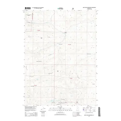
2014 Map of Birch Creek Reservoirs
USGS Topo · Published 2014About this map
Birch Creek Reservoir and the Birch Creek Reservoirs anchor the southern portion of this high-altitude landscape in Rich County. The terrain is characterized by a series of prominent east-west elevations, including the lengthy Thousand Dollar Ridge and Valley Ridge, which separate deep drainages such as Spring Canyon and Crawford Canyon. The northwestern corner of the quadrangle marks the boundary of the Cache National Forest, where steep slopes descend from Pole Fork and Pole Hollow.
Find a feature on this map
35 named features on this map. Tap any name to fly to it.
Don’t see what you’re looking for? This feature index may not catch every label — zoom into the map to look around manually.
Map Details
Editions of this 2014 Birch Creek Reservoirs Map
This is the sole edition of this map. No revisions or reprints were ever made.
Other maps of this area
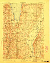
1912 · Randolph
USGS Topo · 1:125,000

1954 · Ogden
USGS Topo · 1:250,000

1958 · Ogden
USGS Topo · 1:250,000

1960 · Ogden
USGS Topo · 1:250,000
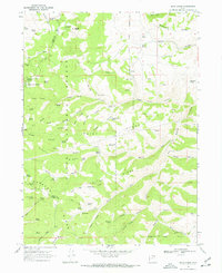
1968 · Dairy Ridge
USGS Topo · 1:24,000
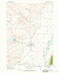
1968 · Randolph
USGS Topo · 1:24,000
1968 · Woodruff
USGS Topo · 1:24,000
1968 · Meachum Ridge
USGS Topo · 1:24,000
1968 · Neponset Reservoir NW
USGS Topo · 1:24,000
1969 · Birch Creek Reservoirs
USGS Topo · 1:24,000