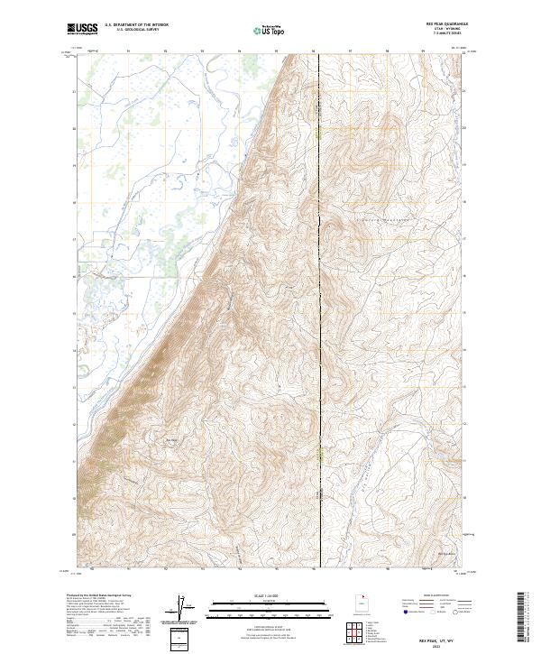
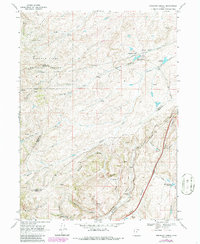
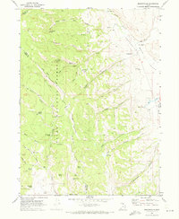
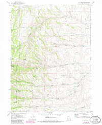
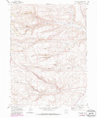
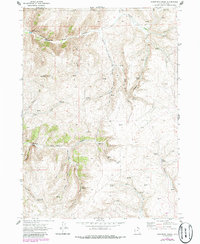
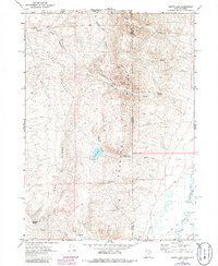
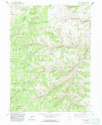
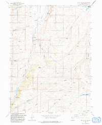
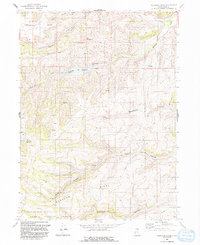
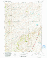
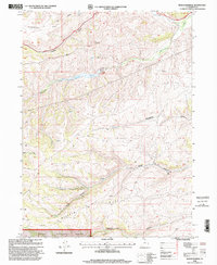
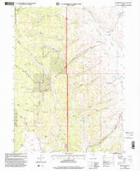
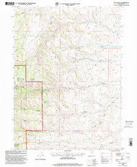
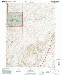
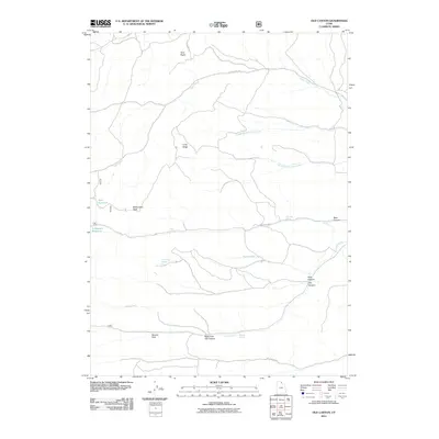
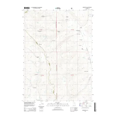
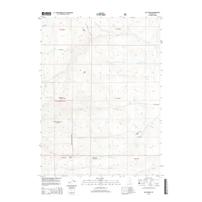
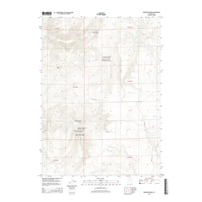
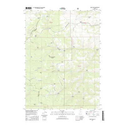
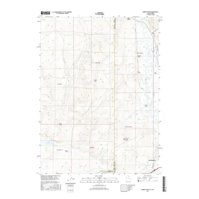
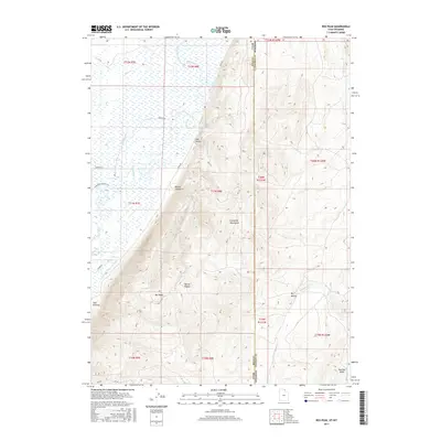
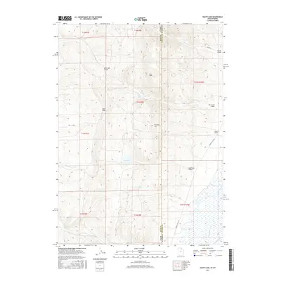
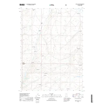
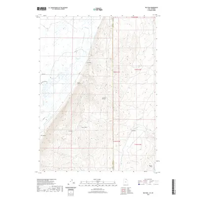
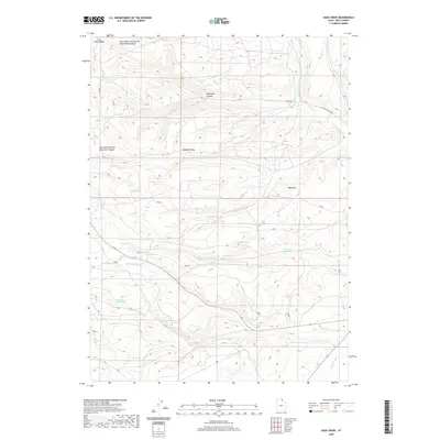
2023 Map of Rex Peak
USGS Topo · Published 2023About this map
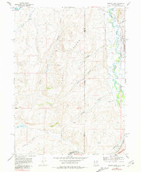
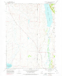
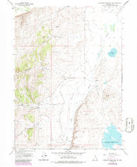
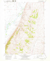
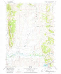
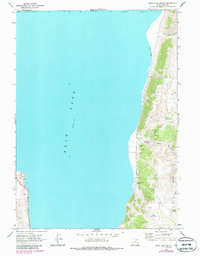
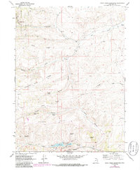
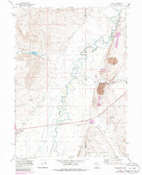
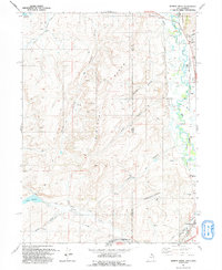
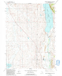
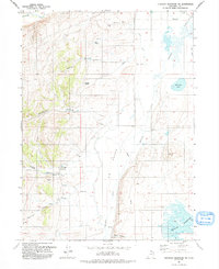
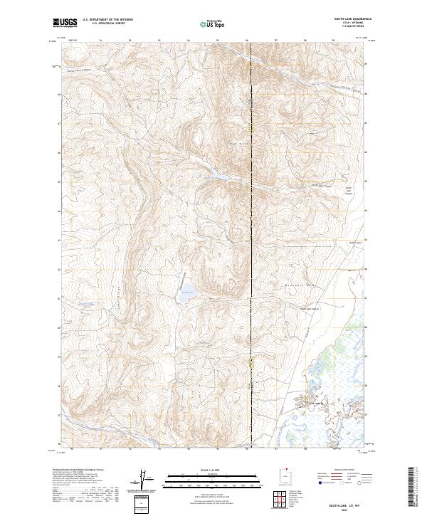
The Crawford Mountains dominate the high ground along the interstate boundary between Rich County, Utah, and Lincoln County, Wyoming. This arid upland landscape is defined by its sophisticated water management systems, including the Beckwith and Quinn Canal, McMinn Canal, and Rex Canal, which divert the Bear River to support agriculture in the lower elevations. The intricate network of irrigation reflects a long-standing reliance on the river to sustain the high desert ranching economy.
Find a feature on this map
30 named features on this map. Tap any name to fly to it.
Don’t see what you’re looking for? This feature index may not catch every label — zoom into the map to look around manually.
Map Details
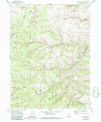
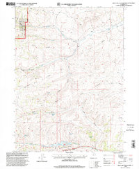
Editions of this 2023 Rex Peak Map
This is the sole edition of this map. No revisions or reprints were ever made.
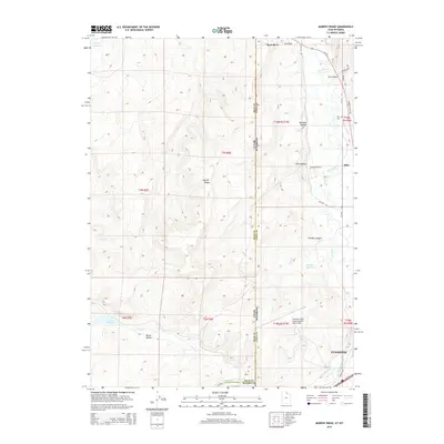
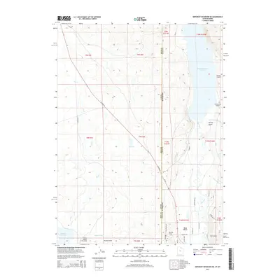
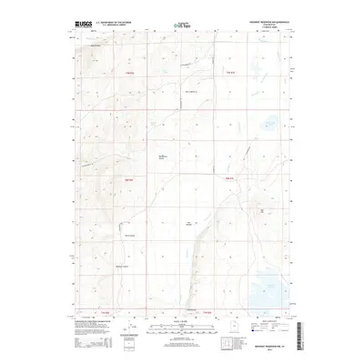
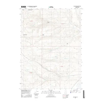
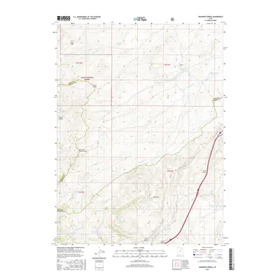
Historical Maps of Lincoln County Through Time
106 maps found
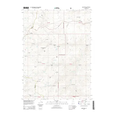
1968 Dairy Ridge
Rich County, UT
1968 Mc Kay Hollow
Rich County, UT
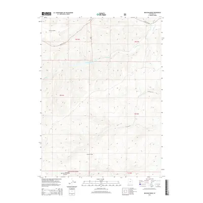
1968 Meachum Ridge
Rich County, UT
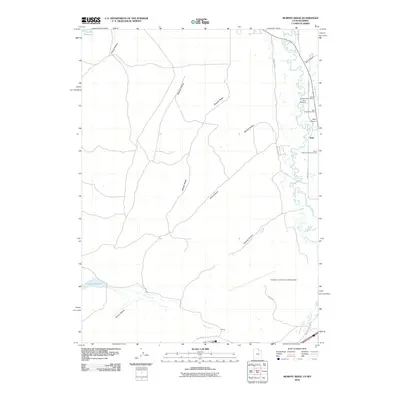
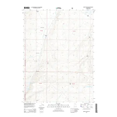
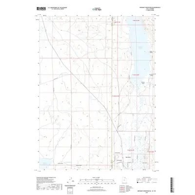
1968 Murphy Ridge
Rich County, UT
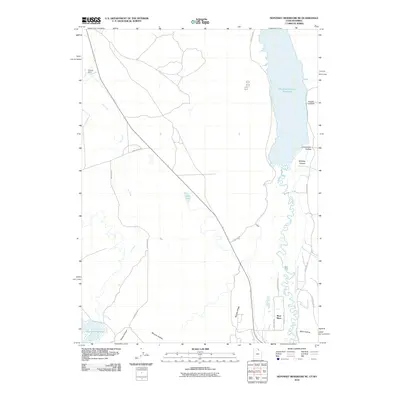
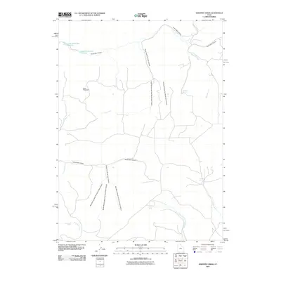
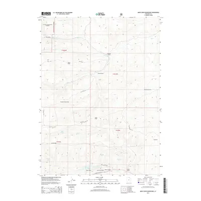
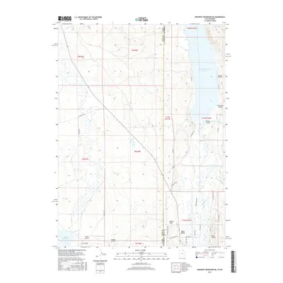
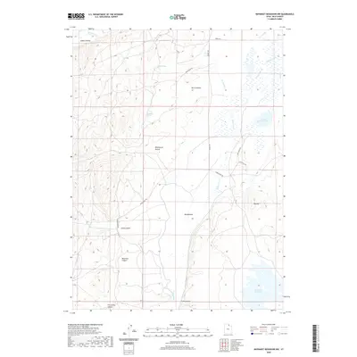
1968 Neponset Reservoir NE
Rich County, UT
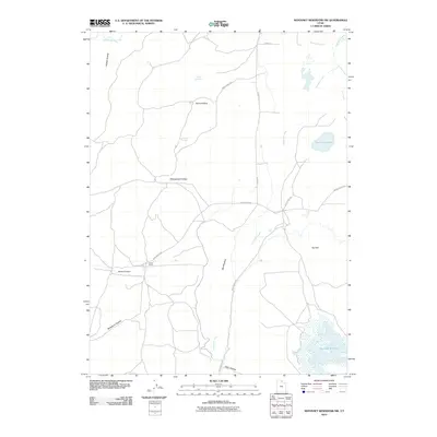
1968 Neponset Reservoir NW
Rich County, UT
1968 Rex Peak
Rich County, UT
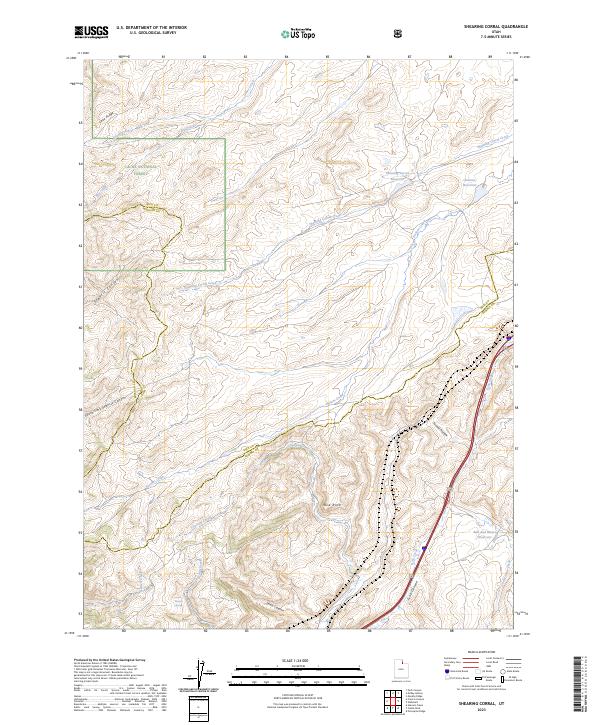
1968 Shearing Corral
Rich County, UT
1968 Woodruff Narrows
Rich County, UT
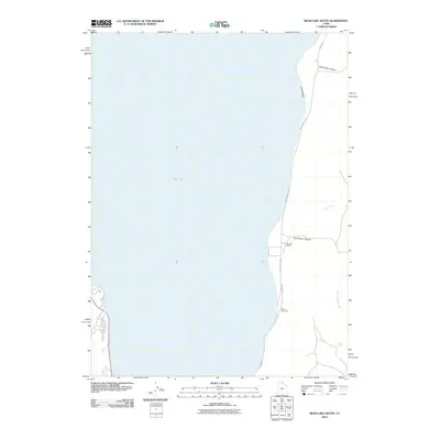
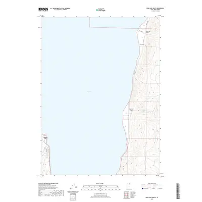
1969 Bear Lake South
Rich County, UT
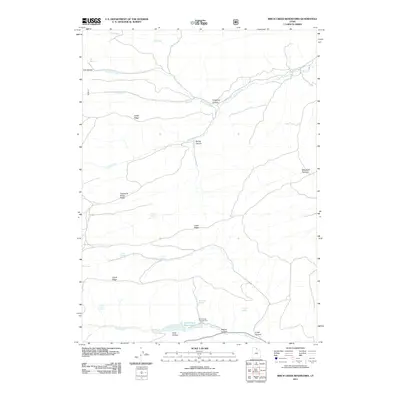
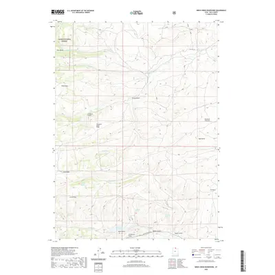
1969 Birch Creek Reservoirs
Rich County, UT
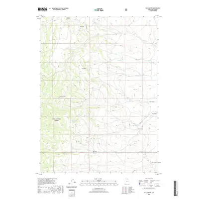
1969 Leefe
Rich County, UT
1969 Meadowville
Rich County, UT
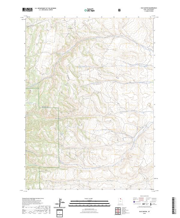
1969 Old Canyon
Rich County, UT
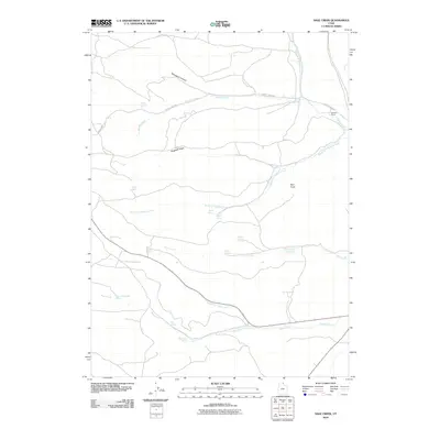
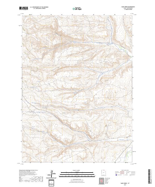
1969 Sage Creek
Rich County, UT
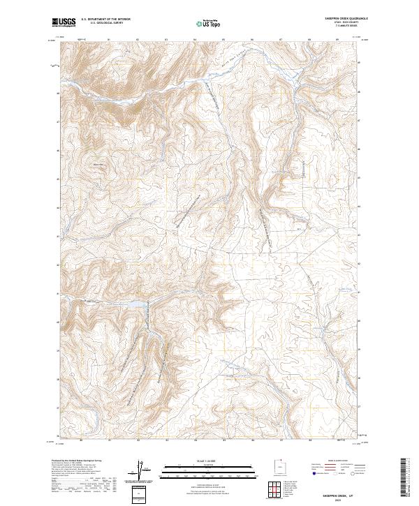
1969 Sheeppen Creek
Rich County, UT
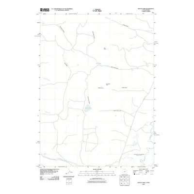
1969 South Lake
Rich County, UT
1991 Dairy Ridge
Rich County, UT
1991 Mc Kay Hollow
Rich County, UT
1991 Meachum Ridge
Rich County, UT
1991 Murphy Ridge
Rich County, UT
1991 Neponset Reservoir NE
Rich County, UT
1991 Neponset Reservoir NW
Rich County, UT
1991 Shearing Corral
Rich County, UT
1998 Birch Creek Reservoirs
Rich County, UT
1998 Dairy Ridge
Rich County, UT
1998 Mc Kay Hollow
Rich County, UT
1998 Meachum Ridge
Rich County, UT
1998 Meadowville
Rich County, UT
1998 Old Canyon
Rich County, UT
1998 Shearing Corral
Rich County, UT
2010 Bear Lake South
Rich County, UT
2010 Murphy Ridge
Rich County, UT
2010 Neponset Reservoir NE
Rich County, UT
2010 Neponset Reservoir NW
Rich County, UT
2010 Sage Creek
Rich County, UT
2010 Sheeppen Creek
Rich County, UT
2010 South Lake
Rich County, UT
2011 Birch Creek Reservoirs
Rich County, UT
2011 Dairy Ridge
Rich County, UT
2011 McKay Hollow
Rich County, UT
2011 Meachum Ridge
Rich County, UT
2011 Meadowville
Rich County, UT
2011 Old Canyon
Rich County, UT
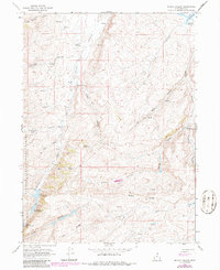
2011 Rex Peak
Rich County, UT
2011 Shearing Corral
Rich County, UT
2014 Bear Lake South
Rich County, UT
2014 Birch Creek Reservoirs
Rich County, UT
2014 Dairy Ridge
Rich County, UT
2014 McKay Hollow
Rich County, UT
2014 Meachum Ridge
Rich County, UT
2014 Meadowville
Rich County, UT
2014 Murphy Ridge
Rich County, UT
2014 Neponset Reservoir NE
Rich County, UT
2014 Neponset Reservoir NW
Rich County, UT
2014 Old Canyon
Rich County, UT
2014 Rex Peak
Rich County, UT
2014 Sage Creek
Rich County, UT
2014 Shearing Corral
Rich County, UT
2014 Sheeppen Creek
Rich County, UT
2014 South Lake
Rich County, UT
2017 Bear Lake South
Rich County, UT
2017 Birch Creek Reservoirs
Rich County, UT
2017 Dairy Ridge
Rich County, UT
2017 McKay Hollow
Rich County, UT
2017 Meachum Ridge
Rich County, UT
2017 Meadowville
Rich County, UT
2017 Murphy Ridge
Rich County, UT
2017 Neponset Reservoir NE
Rich County, UT
2017 Neponset Reservoir NW
Rich County, UT
2017 Old Canyon
Rich County, UT
2017 Rex Peak
Rich County, UT
2017 Sage Creek
Rich County, UT
2017 Shearing Corral
Rich County, UT
2017 Sheeppen Creek
Rich County, UT
2017 South Lake
Rich County, UT
2020 Bear Lake South
Rich County, UT
2020 Birch Creek Reservoirs
Rich County, UT
2020 Dairy Ridge
Rich County, UT
2020 McKay Hollow
Rich County, UT
2020 Meachum Ridge
Rich County, UT
2020 Meadowville
Rich County, UT
2020 Murphy Ridge
Rich County, UT
2020 Neponset Reservoir NE
Rich County, UT
2020 Neponset Reservoir NW
Rich County, UT
2020 Old Canyon
Rich County, UT
2020 Rex Peak
Rich County, UT
2020 Sage Creek
Rich County, UT
2020 Shearing Corral
Rich County, UT
2020 Sheeppen Creek
Rich County, UT
2020 South Lake
Rich County, UT
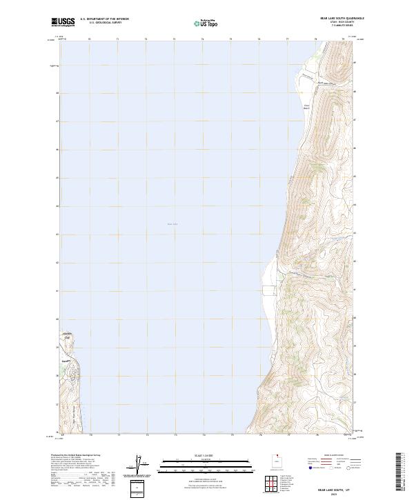
2023 Bear Lake South
Rich County, UT
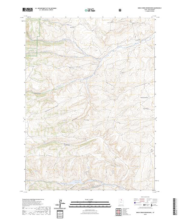
2023 Birch Creek Reservoirs
Rich County, UT
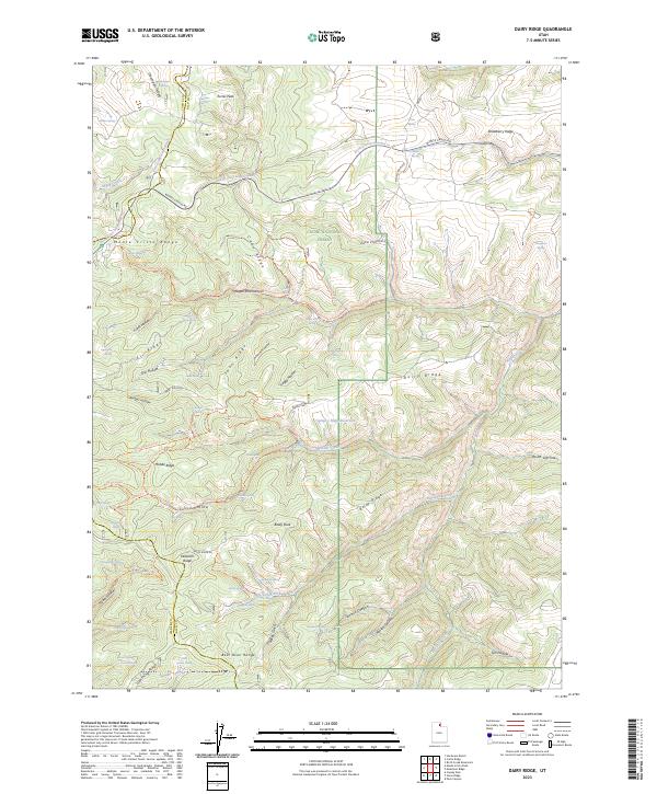
2023 Dairy Ridge
Rich County, UT

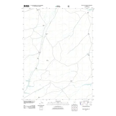
2023 McKay Hollow
Rich County, UT
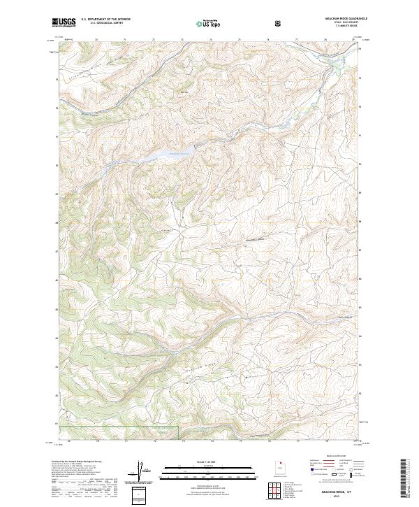
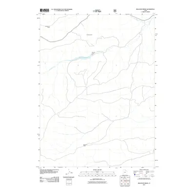
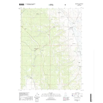
2023 Meachum Ridge
Rich County, UT
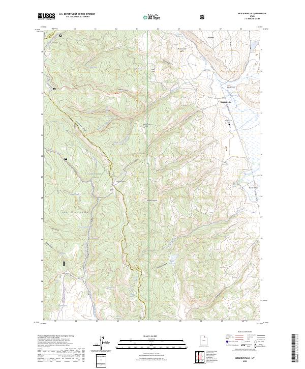
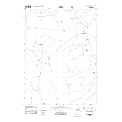
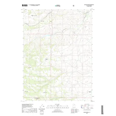
2023 Meadowville
Rich County, UT
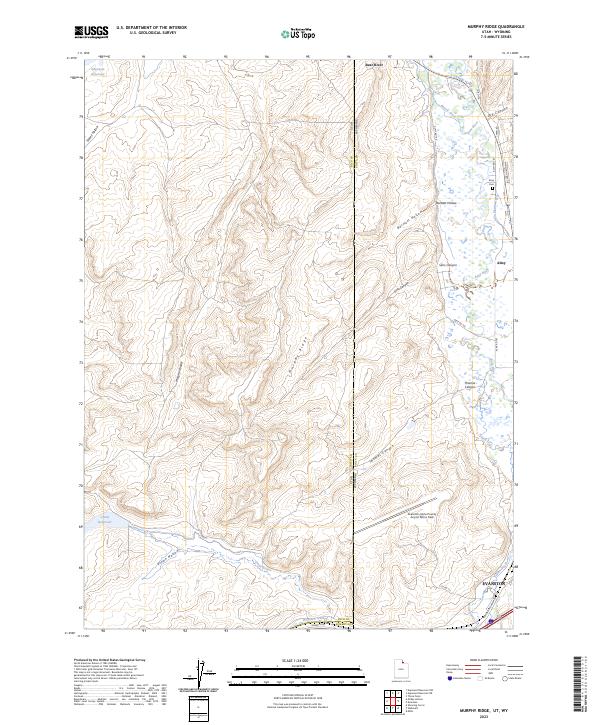
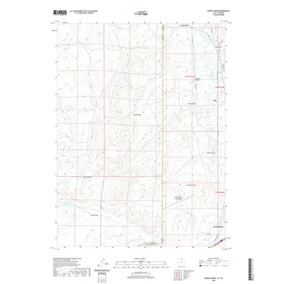
2023 Murphy Ridge
Rich County, UT
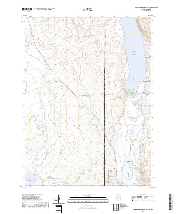
2023 Neponset Reservoir NE
Rich County, UT
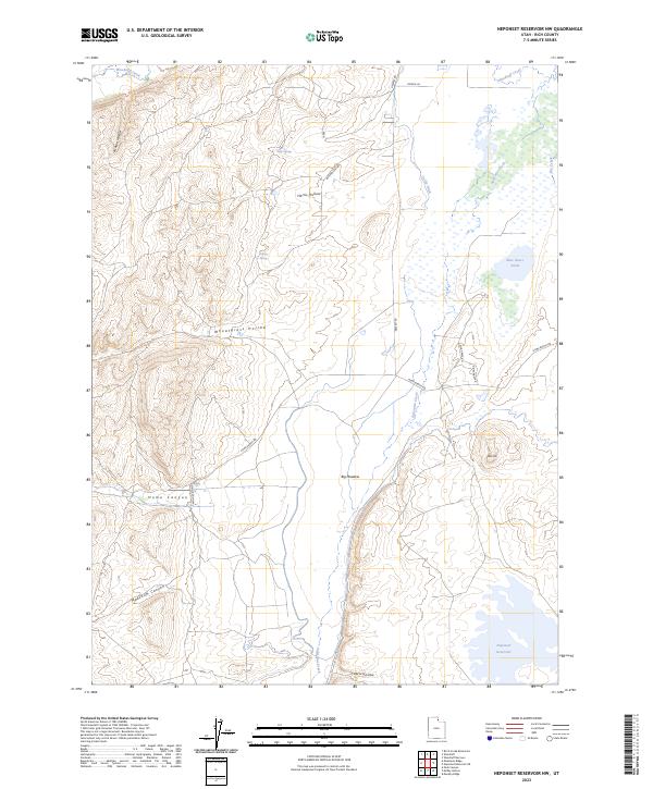
2023 Neponset Reservoir NW
Rich County, UT
2023 Old Canyon
Rich County, UT
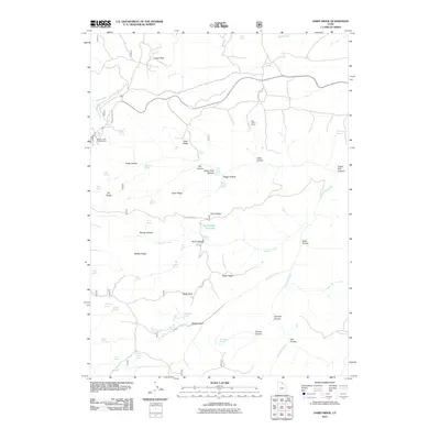
2023 Rex Peak
Rich County, UT
2023 Sage Creek
Rich County, UT
2023 Shearing Corral
Rich County, UT
2023 Sheeppen Creek
Rich County, UT
2023 South Lake
Rich County, UT