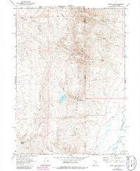
1969 Map of South Lake
USGS Topo · Published 1986About this map
Lake Ridge and the Hills of the Utah-Wyoming borderland define this landscape, where complex water management systems dominate the southeastern corner. The Bear River winds through the lowland, feeding an intricate network of irrigation infrastructure including the West Side Canal, Beckwith and Quinn Canal, and numerous named channels such as Mc Farland Ditch and Twin Cr Ditch. These man-made features highlight the agricultural necessity of water control in this arid high-altitude region during the late 1960s.
Find a feature on this map
28 named features on this map. Tap any name to fly to it.
Don’t see what you’re looking for? This feature index may not catch every label — zoom into the map to look around manually.
Map Details
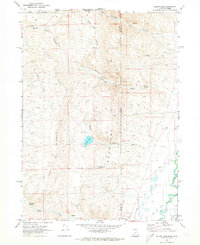
Editions of this 1969 South Lake Map
2 editions found
Other maps of this area

1909 · Montpelier
USGS Topo · 1:125,000

1911 · Montpelier
USGS Topo · 1:125,000

1912 · Randolph
USGS Topo · 1:125,000

1936 · Cokeville
USGS Topo · 1:96,000

1942 · Cokeville
USGS Topo · 1:125,000

1954 · Sage
USGS Topo · 1:62,500

1954 · Ogden
USGS Topo · 1:250,000

1955 · Preston
USGS Topo · 1:250,000

1958 · Ogden
USGS Topo · 1:250,000

1958 · Preston
USGS Topo · 1:250,000