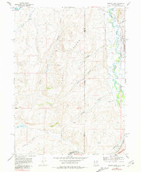
1968 Map of Murphy Ridge
USGS Topo · Published 1981About this map
Murphy Ridge dominates this high-elevation landscape along the border of Utah and Wyoming, where the headwaters of the Bear River meander through a complex network of irrigation and transport infrastructure. In the late 1960s, the settlement of Almy and the nearby Almy Cem sat adjacent to the Union Pacific rail line, representing the human footprint in a region defined by water management. The presence of the Chapman Canal, Morris Ditch, and the Neponset Reservoir reflects a history of engineering the high desert for agricultural and industrial use.
Find a feature on this map
37 named features on this map. Tap any name to fly to it.
Don’t see what you’re looking for? This feature index may not catch every label — zoom into the map to look around manually.
Map Details
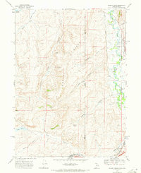
Editions of this 1968 Murphy Ridge Map
2 editions found
Other maps of this area

1954 · Ogden
USGS Topo · 1:250,000

1958 · Ogden
USGS Topo · 1:250,000

1960 · Ogden
USGS Topo · 1:250,000

1965 · Evanston
USGS Topo · 1:24,000

1965 · Three Forks
USGS Topo · 1:24,000

1965 · Millis
USGS Topo · 1:24,000

1968 · Wahsatch
USGS Topo · 1:24,000

1968 · Shearing Corral
USGS Topo · 1:24,000

1968 · Mc Kay Hollow
USGS Topo · 1:24,000

1968 · Neponset Reservoir NE
USGS Topo · 1:24,000