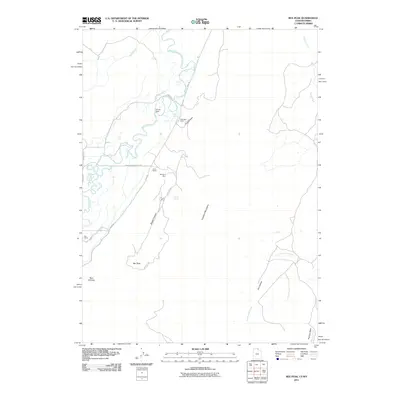
2011 Map of Rex Peak
USGS Topo · Published 2011About this map
Cherokee Mine and other high-altitude mining operations define the industrial footprint of this high desert landscape in the early 21st century. Situated along the boundary of the Crawford Mountains, the map reveals a history of extraction concentrated around Brazier Canyon, where the Benjamin Mine and Frank Mine are also located. The rugged terrain is further characterized by prominent summits like Rex Peak and the winding course of the Bear River, which cuts through the northwestern corner of the quadrangle.
Find a feature on this map
28 named features on this map. Tap any name to fly to it.
Don’t see what you’re looking for? This feature index may not catch every label — zoom into the map to look around manually.
Map Details
Editions of this 2011 Rex Peak Map
This is the sole edition of this map. No revisions or reprints were ever made.
Other maps of this area

1912 · Randolph
USGS Topo · 1:125,000

1954 · Sage
USGS Topo · 1:62,500

1954 · Ogden
USGS Topo · 1:250,000

1958 · Ogden
USGS Topo · 1:250,000

1960 · Ogden
USGS Topo · 1:250,000

1962 · Sawtooth Mountain
USGS Topo · 1:24,000

1962 · Windy Point
USGS Topo · 1:24,000

1968 · Rex Peak
USGS Topo · 1:24,000

1968 · Randolph
USGS Topo · 1:24,000

1968 · Woodruff
USGS Topo · 1:24,000