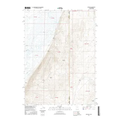
2017 Map of Rex Peak
USGS Topo · Published 2017About this map
Rex Peak dominates the high ground in this 2017 survey of the border region between Rich County, Utah and Lincoln County, Wyoming. The terrain is defined by the steep slopes of the Crawford Mountains, which fall away to the west into a complex network of agricultural water management. The course of the Bear River is shadowed by the Beckwith and Quinn Canal, the Mcminn Canal, and the Crawford Thompson Canal, illustrating a landscape heavily modified for irrigation. Local landmarks such as Brazier Canyon, Coal Hollow, and Red Eye Basin suggest the area's history of ranching and resource extraction, connected by primitive routes like Mine Rd. This survey captures the contrast between the high summits and the engineered water systems that sustain the valley below.
Find a feature on this map
34 named features on this map. Tap any name to fly to it.
Don’t see what you’re looking for? This feature index may not catch every label — zoom into the map to look around manually.
Map Details
Editions of this 2017 Rex Peak Map
This is the sole edition of this map. No revisions or reprints were ever made.
Other maps of this area

1912 · Randolph
USGS Topo · 1:125,000

1954 · Sage
USGS Topo · 1:62,500

1954 · Ogden
USGS Topo · 1:250,000

1958 · Ogden
USGS Topo · 1:250,000

1960 · Ogden
USGS Topo · 1:250,000

1962 · Sawtooth Mountain
USGS Topo · 1:24,000

1962 · Windy Point
USGS Topo · 1:24,000

1968 · Rex Peak
USGS Topo · 1:24,000

1968 · Randolph
USGS Topo · 1:24,000

1968 · Woodruff
USGS Topo · 1:24,000