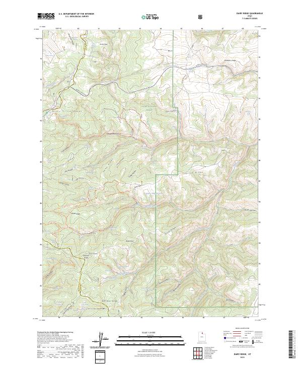
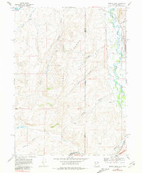
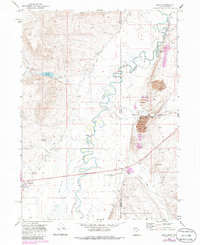
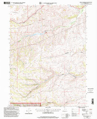
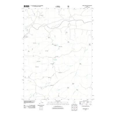
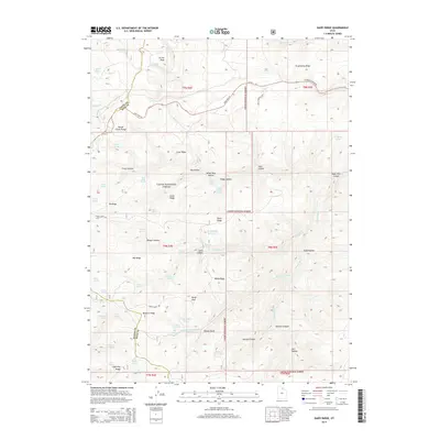
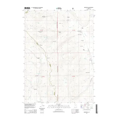
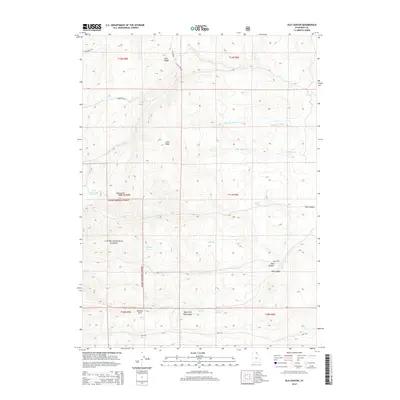
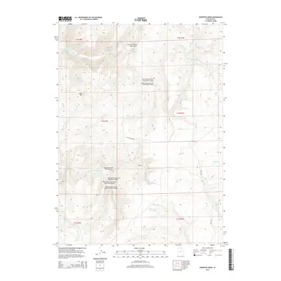
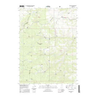
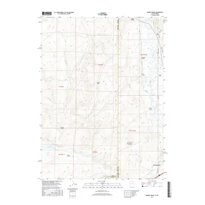
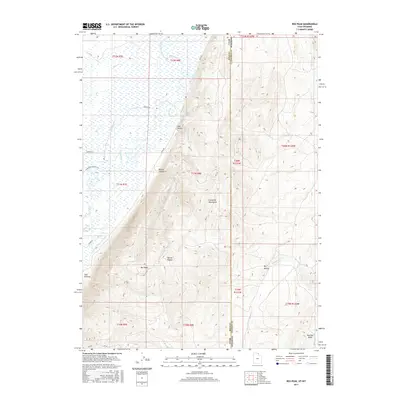
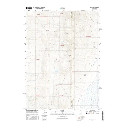
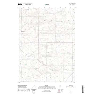
2023 Map of Dairy Ridge
USGS Topo · Published 2023About this map
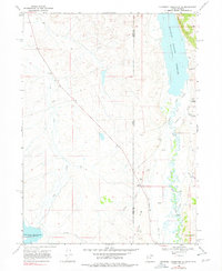
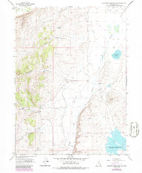
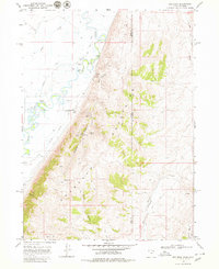
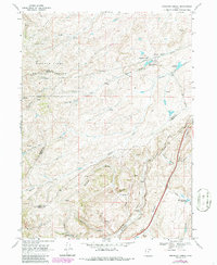
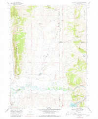
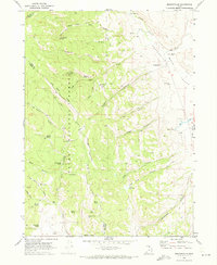
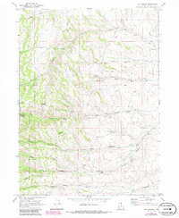
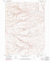
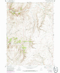
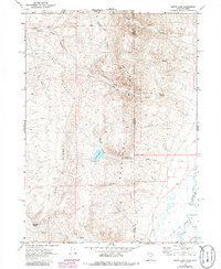
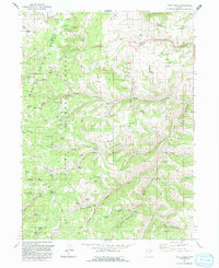
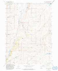
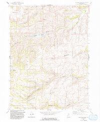
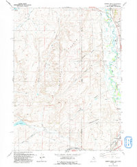
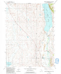
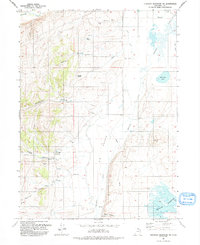
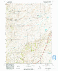
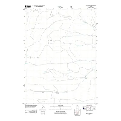
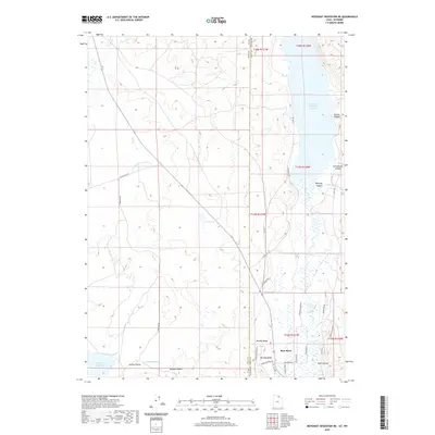
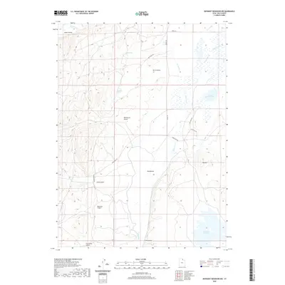
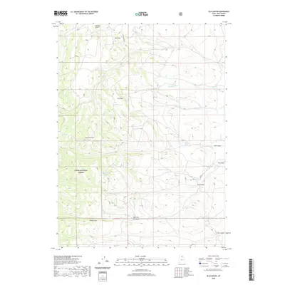
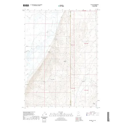
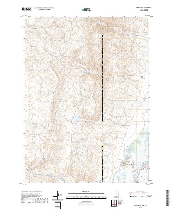
Cache National Forest dominates this high-altitude landscape where the Monte Cristo Range meets the Bear River Range. The terrain is defined by a series of parallel north-south ridges including Eli Ridge, Swan Ridge, and Baldy Ridge, which create a complex network of canyons and hollows. Water sources are abundant but localized, ranging from Davenport Spring in the north to Deseret Spring in the south, feeding drainage systems like Wheeler Creek and Big Spring Fork.
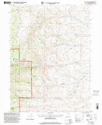
Find a feature on this map
79 named features on this map. Tap any name to fly to it.
Don’t see what you’re looking for? This feature index may not catch every label — zoom into the map to look around manually.
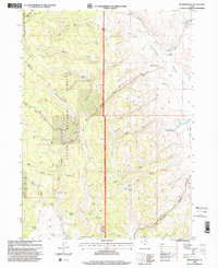
Map Details
Editions of this 2023 Dairy Ridge Map
This is the sole edition of this map. No revisions or reprints were ever made.
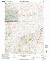
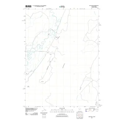
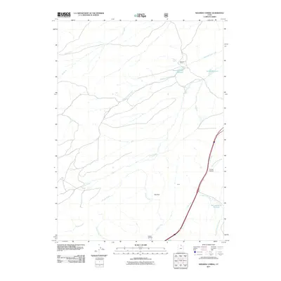
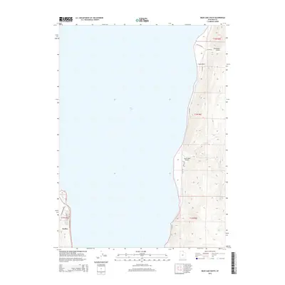
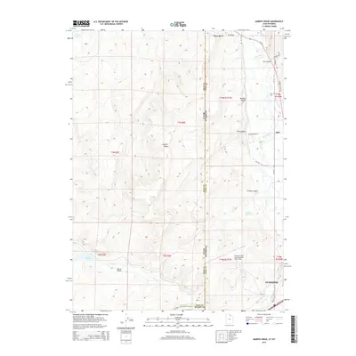
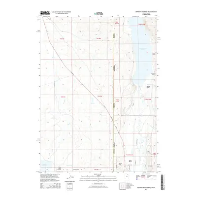
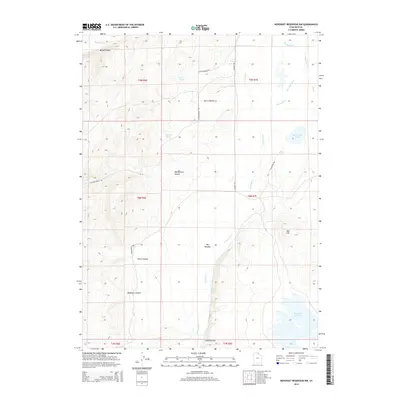
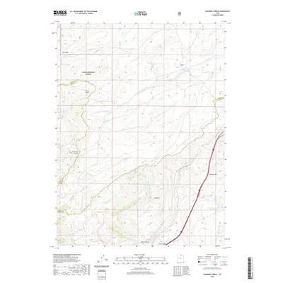
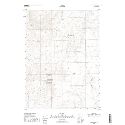
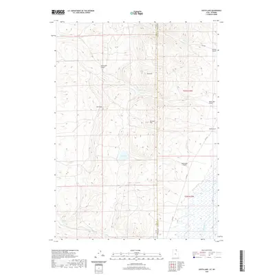
Historical Maps of Weber County Through Time
106 maps found
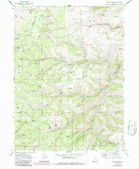
1968 Dairy Ridge
Rich County, UT
1968 Mc Kay Hollow
Rich County, UT
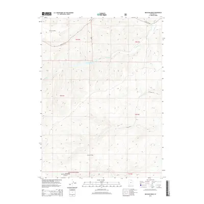
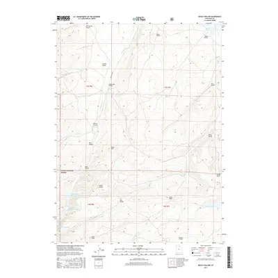
1968 Meachum Ridge
Rich County, UT
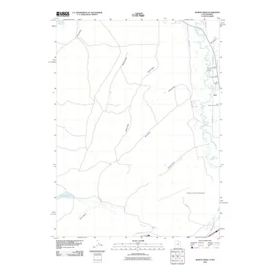
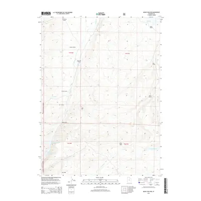
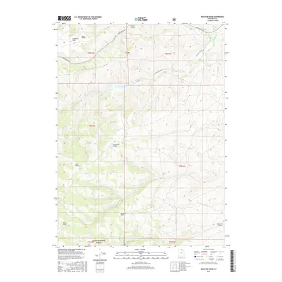
1968 Murphy Ridge
Rich County, UT
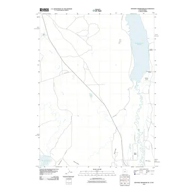
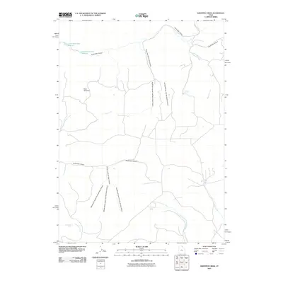
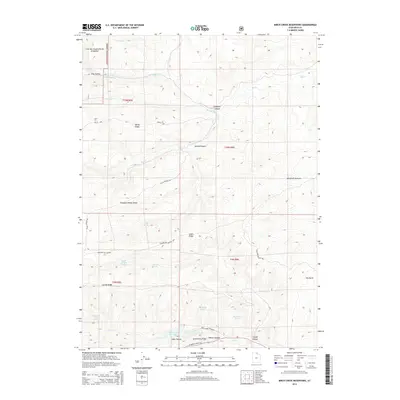
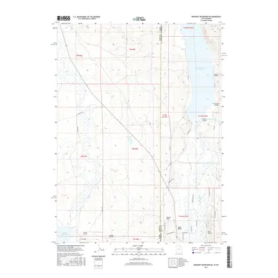
1968 Neponset Reservoir NE
Rich County, UT
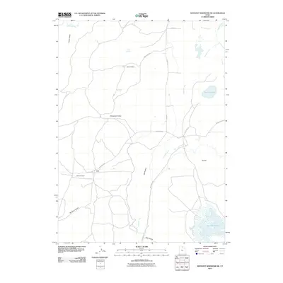
1968 Neponset Reservoir NW
Rich County, UT
1968 Rex Peak
Rich County, UT
1968 Shearing Corral
Rich County, UT
1968 Woodruff Narrows
Rich County, UT
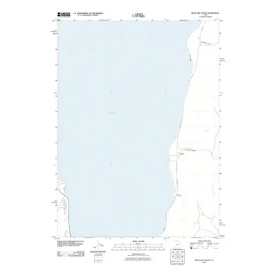
1969 Bear Lake South
Rich County, UT
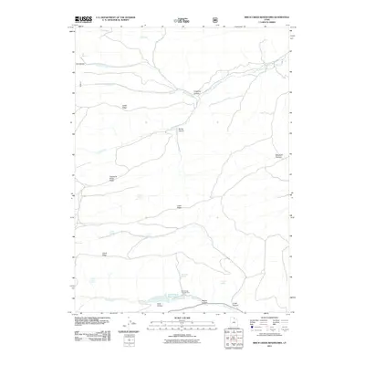
1969 Birch Creek Reservoirs
Rich County, UT
1969 Leefe
Rich County, UT
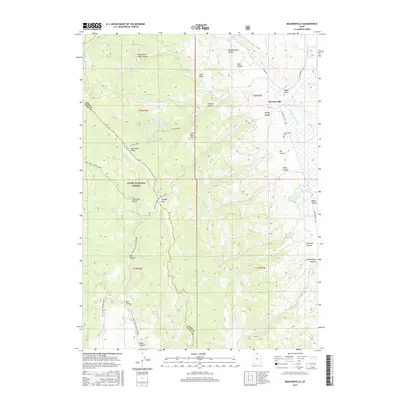
1969 Meadowville
Rich County, UT
1969 Old Canyon
Rich County, UT
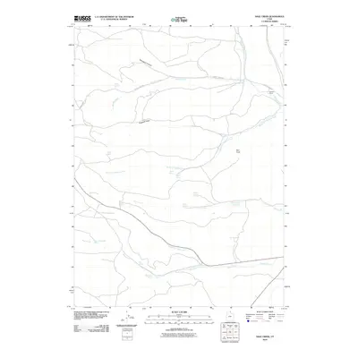
1969 Sage Creek
Rich County, UT
1969 Sheeppen Creek
Rich County, UT
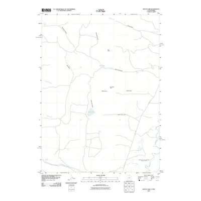
1969 South Lake
Rich County, UT
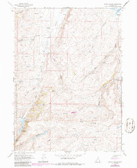
1991 Dairy Ridge
Rich County, UT
1991 Mc Kay Hollow
Rich County, UT
1991 Meachum Ridge
Rich County, UT
1991 Murphy Ridge
Rich County, UT
1991 Neponset Reservoir NE
Rich County, UT
1991 Neponset Reservoir NW
Rich County, UT
1991 Shearing Corral
Rich County, UT
1998 Birch Creek Reservoirs
Rich County, UT
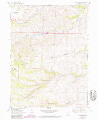
1998 Dairy Ridge
Rich County, UT
1998 Mc Kay Hollow
Rich County, UT
1998 Meachum Ridge
Rich County, UT
1998 Meadowville
Rich County, UT
1998 Old Canyon
Rich County, UT
1998 Shearing Corral
Rich County, UT
2010 Bear Lake South
Rich County, UT
2010 Murphy Ridge
Rich County, UT
2010 Neponset Reservoir NE
Rich County, UT
2010 Neponset Reservoir NW
Rich County, UT
2010 Sage Creek
Rich County, UT
2010 Sheeppen Creek
Rich County, UT
2010 South Lake
Rich County, UT
2011 Birch Creek Reservoirs
Rich County, UT
2011 Dairy Ridge
Rich County, UT
2011 McKay Hollow
Rich County, UT
2011 Meachum Ridge
Rich County, UT
2011 Meadowville
Rich County, UT
2011 Old Canyon
Rich County, UT
2011 Rex Peak
Rich County, UT
2011 Shearing Corral
Rich County, UT
2014 Bear Lake South
Rich County, UT
2014 Birch Creek Reservoirs
Rich County, UT
2014 Dairy Ridge
Rich County, UT
2014 McKay Hollow
Rich County, UT
2014 Meachum Ridge
Rich County, UT
2014 Meadowville
Rich County, UT
2014 Murphy Ridge
Rich County, UT
2014 Neponset Reservoir NE
Rich County, UT
2014 Neponset Reservoir NW
Rich County, UT
2014 Old Canyon
Rich County, UT
2014 Rex Peak
Rich County, UT
2014 Sage Creek
Rich County, UT
2014 Shearing Corral
Rich County, UT
2014 Sheeppen Creek
Rich County, UT
2014 South Lake
Rich County, UT
2017 Bear Lake South
Rich County, UT
2017 Birch Creek Reservoirs
Rich County, UT
2017 Dairy Ridge
Rich County, UT
2017 McKay Hollow
Rich County, UT
2017 Meachum Ridge
Rich County, UT
2017 Meadowville
Rich County, UT
2017 Murphy Ridge
Rich County, UT
2017 Neponset Reservoir NE
Rich County, UT
2017 Neponset Reservoir NW
Rich County, UT
2017 Old Canyon
Rich County, UT
2017 Rex Peak
Rich County, UT
2017 Sage Creek
Rich County, UT
2017 Shearing Corral
Rich County, UT
2017 Sheeppen Creek
Rich County, UT
2017 South Lake
Rich County, UT
2020 Bear Lake South
Rich County, UT
2020 Birch Creek Reservoirs
Rich County, UT
2020 Dairy Ridge
Rich County, UT
2020 McKay Hollow
Rich County, UT
2020 Meachum Ridge
Rich County, UT
2020 Meadowville
Rich County, UT
2020 Murphy Ridge
Rich County, UT
2020 Neponset Reservoir NE
Rich County, UT
2020 Neponset Reservoir NW
Rich County, UT
2020 Old Canyon
Rich County, UT
2020 Rex Peak
Rich County, UT
2020 Sage Creek
Rich County, UT
2020 Shearing Corral
Rich County, UT
2020 Sheeppen Creek
Rich County, UT
2020 South Lake
Rich County, UT
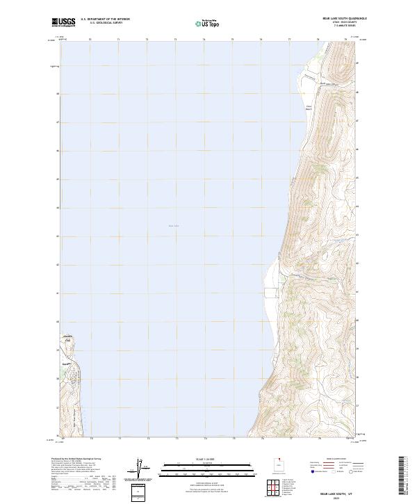
2023 Bear Lake South
Rich County, UT
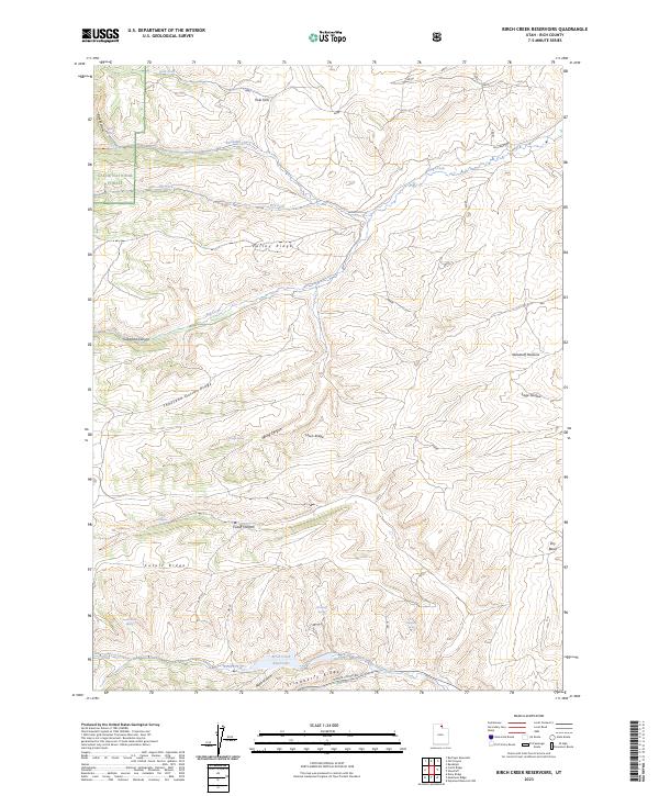
2023 Birch Creek Reservoirs
Rich County, UT
2023 Dairy Ridge
Rich County, UT

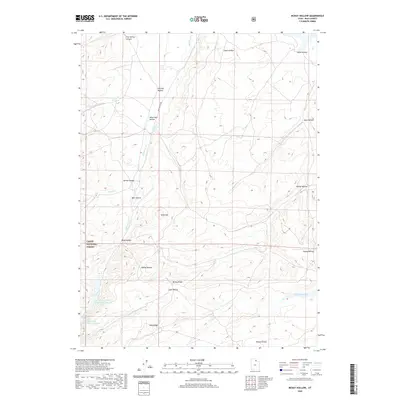
2023 McKay Hollow
Rich County, UT
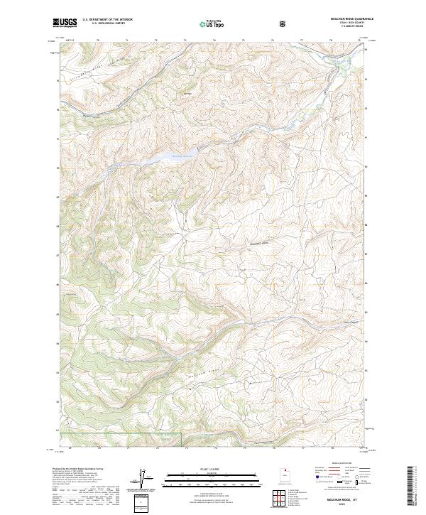
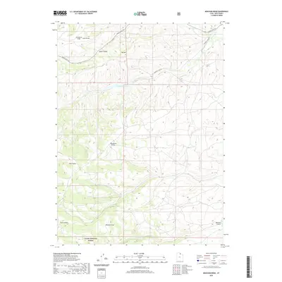
2023 Meachum Ridge
Rich County, UT
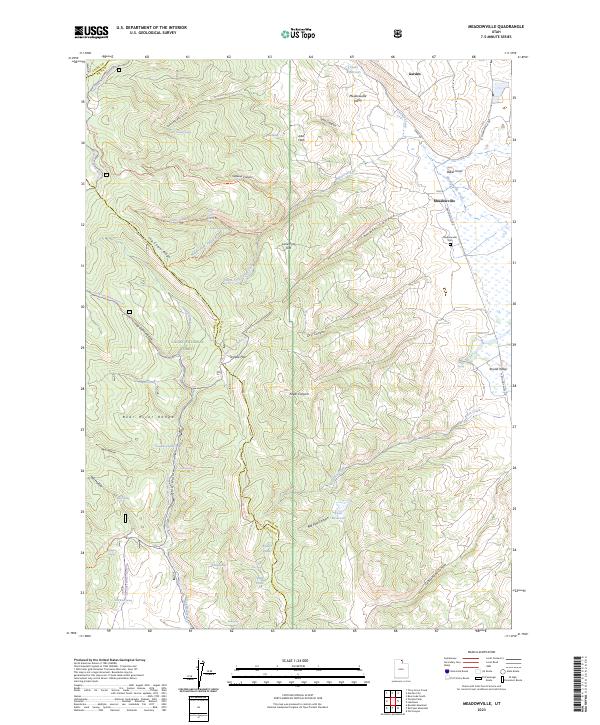
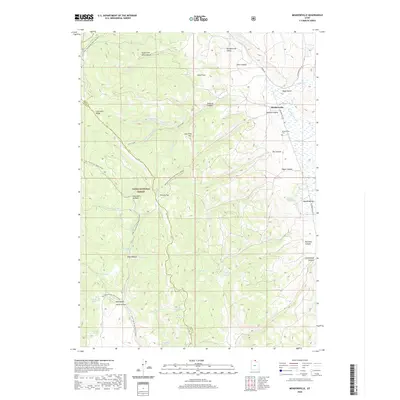
2023 Meadowville
Rich County, UT
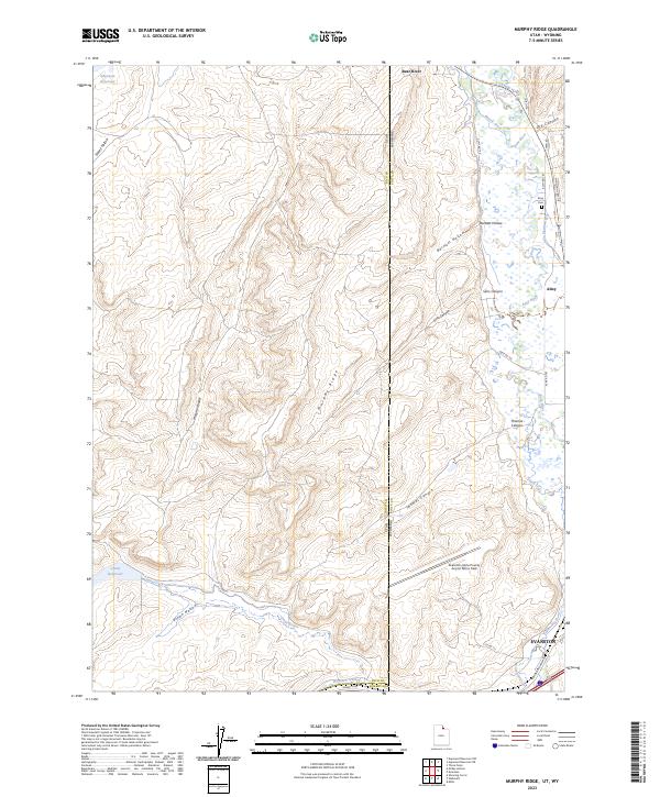
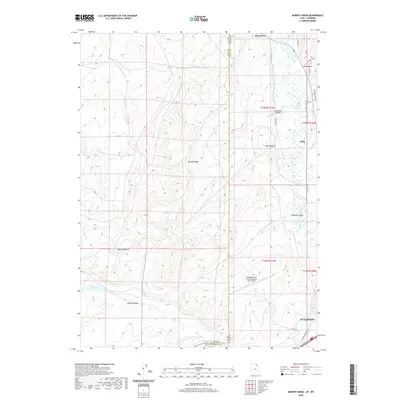
2023 Murphy Ridge
Rich County, UT
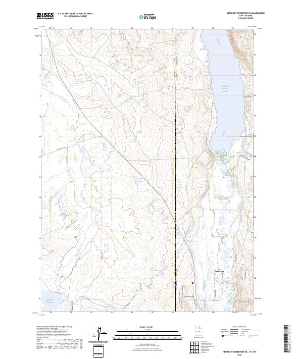
2023 Neponset Reservoir NE
Rich County, UT
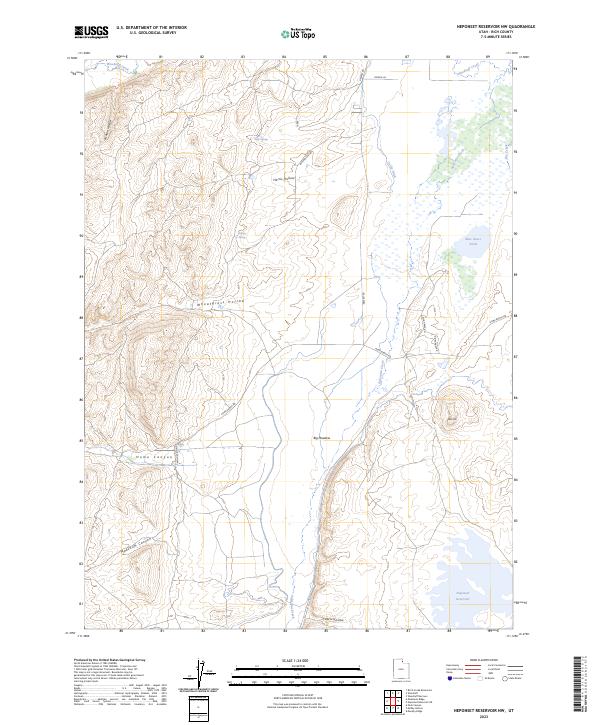
2023 Neponset Reservoir NW
Rich County, UT
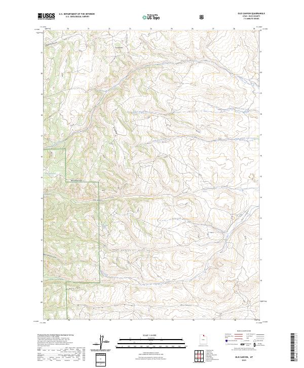
2023 Old Canyon
Rich County, UT
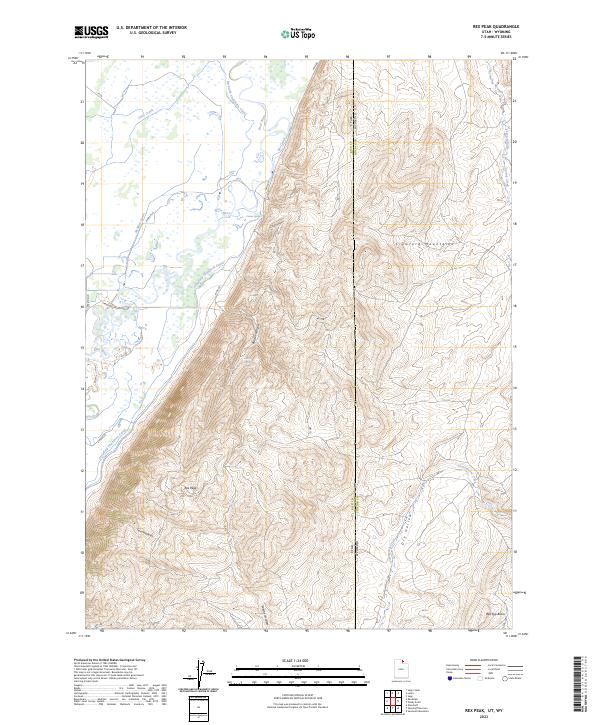
2023 Rex Peak
Rich County, UT
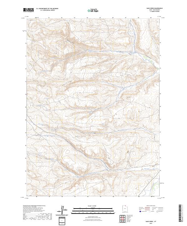
2023 Sage Creek
Rich County, UT
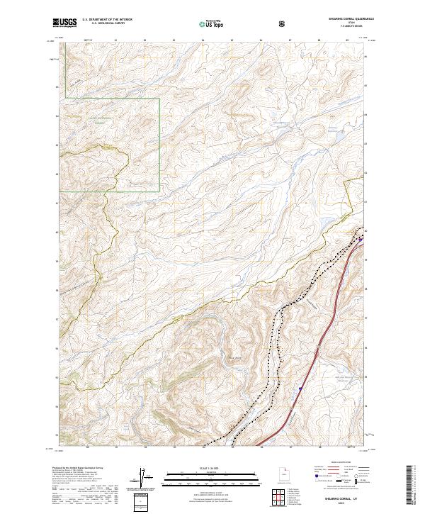
2023 Shearing Corral
Rich County, UT
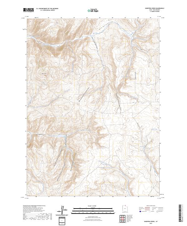
2023 Sheeppen Creek
Rich County, UT
2023 South Lake
Rich County, UT