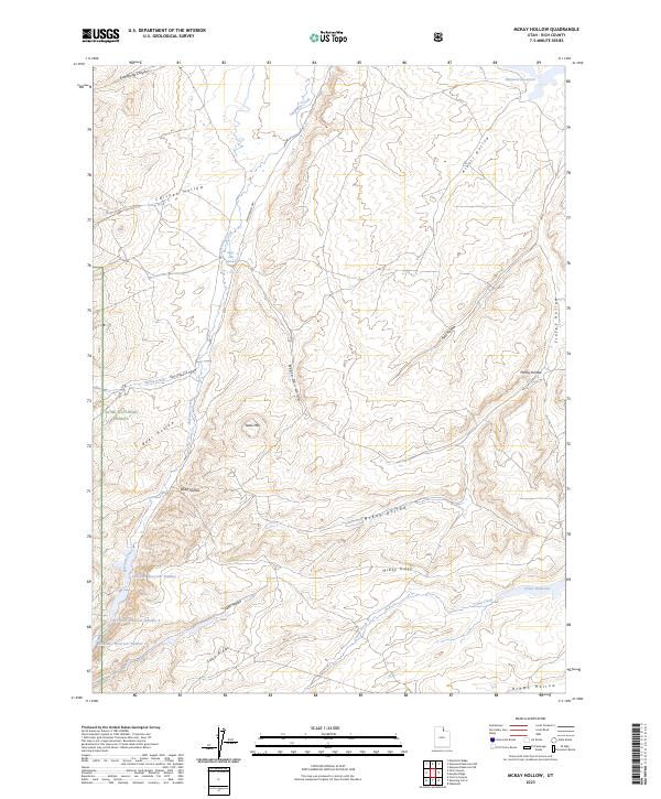
2023 Map of McKay Hollow
USGS Topo · Published 2023About this map
Saleratus Creek flows through this corner of Rich County, Utah, where a series of water management features define the local geography. The drainage network includes Saleratus Reservoir Number 1, Saleratus Reservoir Number 2, and Saleratus Reservoir Number 3, supporting ranching operations in a landscape marked by substantial physical landmarks like Table Mtn and McKay Ridge.
Find a feature on this map
28 named features on this map. Tap any name to fly to it.
Don’t see what you’re looking for? This feature index may not catch every label — zoom into the map to look around manually.
Map Details
Editions of this 2023 McKay Hollow Map
This is the sole edition of this map. No revisions or reprints were ever made.
Other maps of this area

1954 · Ogden
USGS Topo · 1:250,000

1958 · Ogden
USGS Topo · 1:250,000

1960 · Ogden
USGS Topo · 1:250,000

1964 · Francis Canyon
USGS Topo · 1:24,000

1968 · Wahsatch
USGS Topo · 1:24,000

1968 · Shearing Corral
USGS Topo · 1:24,000

1968 · Mc Kay Hollow
USGS Topo · 1:24,000

1968 · Neponset Reservoir NE
USGS Topo · 1:24,000

1968 · Meachum Ridge
USGS Topo · 1:24,000

1968 · Peck Canyon
USGS Topo · 1:24,000