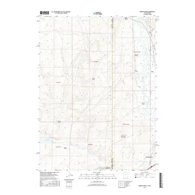
2017 Map of Murphy Ridge
USGS Topo · Published 2017About this map
The Bear River meanders through a landscape defined by the intersection of Utah and Wyoming, where the high-plains geography of Murphy Ridge meets the agricultural and aviation developments of Uinta County. In the southeastern corner, the city of Evanston serves as a regional anchor, with the Evanston-Uinta County Airport - Burns Field situated on the elevated bench nearby. North along the river valley, the settlement of Almy and the Almy Cem mark a legacy of local habitation and industry.
Find a feature on this map
37 named features on this map. Tap any name to fly to it.
Don’t see what you’re looking for? This feature index may not catch every label — zoom into the map to look around manually.
Map Details
Editions of this 2017 Murphy Ridge Map
This is the sole edition of this map. No revisions or reprints were ever made.
Other maps of this area

1954 · Ogden
USGS Topo · 1:250,000

1958 · Ogden
USGS Topo · 1:250,000

1960 · Ogden
USGS Topo · 1:250,000

1965 · Evanston
USGS Topo · 1:24,000

1965 · Three Forks
USGS Topo · 1:24,000

1965 · Millis
USGS Topo · 1:24,000

1968 · Wahsatch
USGS Topo · 1:24,000

1968 · Shearing Corral
USGS Topo · 1:24,000

1968 · Mc Kay Hollow
USGS Topo · 1:24,000

1968 · Neponset Reservoir NE
USGS Topo · 1:24,000