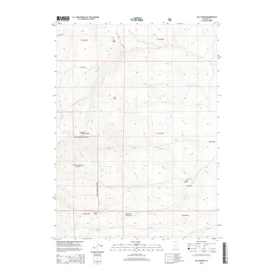
2014 Map of Old Canyon
USGS Topo · Published 2014About this map
Cache National Forest encompasses the high-altitude terrain of this region in Rich County, where numerous springs and creeks feed into the Otter Cr drainage system. The map documents the physical geography and hydrology of the Bear River Range area, centered on drainage points like Clawson Spring, Longhurst Spring, and Willow Spring. Historically significant markers such as Old Canyon and New Canyon indicate the movement and naming conventions of early settlers navigating these mountain passes. High peaks including Twin Peaks and Monument Peak frame the landscape, while man-made additions like Nick Reservoir and the Otter Creek Rd trace the intersection of water management and transportation. The detailed record of canyon names, such as Laketown Cyn and Pole Canyon, provides a valuable resource for tracing local geography as it was formally recognized in the early 21st century.
Find a feature on this map
30 named features on this map. Tap any name to fly to it.
Don’t see what you’re looking for? This feature index may not catch every label — zoom into the map to look around manually.
Map Details
Editions of this 2014 Old Canyon Map
This is the sole edition of this map. No revisions or reprints were ever made.
Other maps of this area
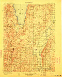
1912 · Randolph
USGS Topo · 1:125,000

1954 · Ogden
USGS Topo · 1:250,000

1958 · Ogden
USGS Topo · 1:250,000

1960 · Ogden
USGS Topo · 1:250,000
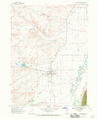
1968 · Randolph
USGS Topo · 1:24,000
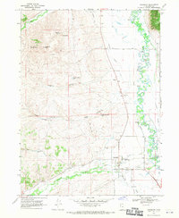
1968 · Woodruff
USGS Topo · 1:24,000
1969 · Birch Creek Reservoirs
USGS Topo · 1:24,000
1969 · Curtis Ridge
USGS Topo · 1:24,000
1969 · Red Spur Mtn
USGS Topo · 1:24,000
1969 · Meadowville
USGS Topo · 1:24,000