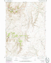
1969 Map of Sheeppen Creek
USGS Topo · Published 1986About this map
North Eden Creek flows through the northern reaches of this Rich County terrain, feeding into the Lower North Eden Res and Upper North Eden Res. The landscape is defined by its drainage systems, where Sheeppen Creek divides into its North Fork and South Fork branches. Evidence of mid-century infrastructure and land use is sparse but specific, noted by several Storage Bins and a Borrow Pit located near the reservoirs. The high ground of Black Mountain overlooks a complex network of canyons and springs, including Sheeppen Spring and Rabbit Spring. A series of jeep trails provides the primary means of navigating these ridgelines, which eventually approach the Wyoming state line to the east.
Find a feature on this map
27 named features on this map. Tap any name to fly to it.
Don’t see what you’re looking for? This feature index may not catch every label — zoom into the map to look around manually.
Map Details
Editions of this 1969 Sheeppen Creek Map
3 editions found
Other maps of this area

1909 · Montpelier
USGS Topo · 1:125,000

1911 · Montpelier
USGS Topo · 1:125,000

1912 · Randolph
USGS Topo · 1:125,000

1954 · Ogden
USGS Topo · 1:250,000

1955 · Preston
USGS Topo · 1:250,000

1958 · Ogden
USGS Topo · 1:250,000

1958 · Preston
USGS Topo · 1:250,000

1960 · Ogden
USGS Topo · 1:250,000

1962 · Preston
USGS Topo · 1:250,000

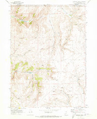
1969 · Sheeppen Creek
USGS Topo · 1:24,000