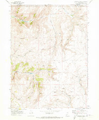
1969 Map of Sheeppen Creek
USGS Topo · Published 1973About this map
North Eden Canyon and its southern counterpart define the drainage patterns of this high-altitude landscape in Rich County. The 1969 field survey reveals a system of water management critical for this arid terrain, centered on the Lower North Eden Res, Upper North Eden Res, and South Eden Res. These reservoirs, along with numerous named water sources like Shirley Spring and Cottonwood Spring, supported the seasonal needs of the region. The map highlights the intersection of natural features and early resource extraction, noted by the Gravel Pit near South Eden Canyon and several Storage Bins scattered across the flats. Rugged local landmarks such as Black Mountain and Lakeview rise above a network of unnamed trails and jeep roads, illustrating the area's use for ranching and passage between the Utah and Wyoming borderlands.
Find a feature on this map
29 named features on this map. Tap any name to fly to it.
Don’t see what you’re looking for? This feature index may not catch every label — zoom into the map to look around manually.
Map Details
Editions of this 1969 Sheeppen Creek Map
3 editions found
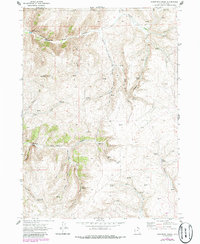
Other maps of this area

1909 · Montpelier
USGS Topo · 1:125,000

1911 · Montpelier
USGS Topo · 1:125,000

1912 · Randolph
USGS Topo · 1:125,000

1954 · Ogden
USGS Topo · 1:250,000

1955 · Preston
USGS Topo · 1:250,000

1958 · Ogden
USGS Topo · 1:250,000

1958 · Preston
USGS Topo · 1:250,000

1960 · Ogden
USGS Topo · 1:250,000

1962 · Preston
USGS Topo · 1:250,000

1969 · Sheeppen Creek
USGS Topo · 1:24,000