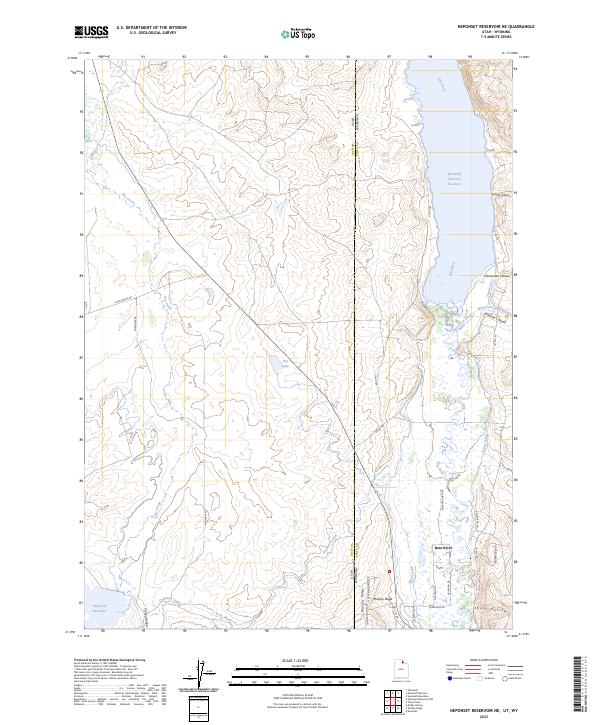
2023 Map of Neponset Reservoir NE
USGS Topo · Published 2023About this map
The Bear River flows through this high-desert borderland where the boundaries of Utah and Wyoming meet. Water management dominates the landscape, evidenced by the expansive Woodruff Narrows Reservoir in the north and the smaller Neponset Reservoir to the south. An intricate network of irrigation infrastructure, including the Chapman Canal, Christensen Ditch, and Tunnel Ditch, reveals the intensive effort required to support agriculture and ranching in this arid region.
Find a feature on this map
38 named features on this map. Tap any name to fly to it.
Don’t see what you’re looking for? This feature index may not catch every label — zoom into the map to look around manually.
Map Details
Editions of this 2023 Neponset Reservoir NE Map
This is the sole edition of this map. No revisions or reprints were ever made.
Other maps of this area

1912 · Randolph
USGS Topo · 1:125,000

1954 · Ogden
USGS Topo · 1:250,000

1958 · Ogden
USGS Topo · 1:250,000

1960 · Ogden
USGS Topo · 1:250,000

1962 · Sawtooth Mountain
USGS Topo · 1:24,000

1965 · Evanston
USGS Topo · 1:24,000

1965 · Three Forks
USGS Topo · 1:24,000

1968 · Woodruff
USGS Topo · 1:24,000

1968 · Mc Kay Hollow
USGS Topo · 1:24,000

1968 · Neponset Reservoir NE
USGS Topo · 1:24,000