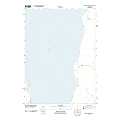
2010 Map of Bear Lake South
USGS Topo · Published 2010About this map
Bear Lake dominates this 2010 topographic profile, showing the eastern shore where the deep blue water meets the rising terrain of Rich County. This specific section highlights a landscape of recreational access and ranching heritage, centered around the Bear Lake St Park boundary and the recreational grounds of Camp Bear Lake. The shoreline is defined by Cisco Beach, with the land rising sharply into the interior through geological features like North Eden Canyon and South Eden Canyon.
Find a feature on this map
12 named features on this map. Tap any name to fly to it.
Don’t see what you’re looking for? This feature index may not catch every label — zoom into the map to look around manually.
Map Details
Editions of this 2010 Bear Lake South Map
This is the sole edition of this map. No revisions or reprints were ever made.
Other maps of this area

1909 · Montpelier
USGS Topo · 1:125,000

1911 · Montpelier
USGS Topo · 1:125,000

1912 · Randolph
USGS Topo · 1:125,000

1954 · Ogden
USGS Topo · 1:250,000

1955 · Preston
USGS Topo · 1:250,000

1958 · Ogden
USGS Topo · 1:250,000

1958 · Preston
USGS Topo · 1:250,000

1960 · Ogden
USGS Topo · 1:250,000

1962 · Preston
USGS Topo · 1:250,000

1969 · Sheeppen Creek
USGS Topo · 1:24,000