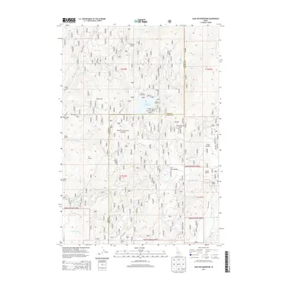
2013 Map of Sage Hen Reservoir
USGS Topo · Published 2013About this map
Sage Hen Reservoir serves as the central focal point for this area of the Boise National Forest, situated along the boundary of Gem and Valley counties. The map details a network of recreation sites established around the water, including Antelope Campground, Sage Hen Campground, and Eastside Campground, alongside distinctive shore features like Hollywood Point. The surrounding landscape is defined by high-elevation meadows and peaks, with Tripod Summit and Friday Butte overlooking drainages such as Cottonwood Cr and Sage Hen Cr. Access is provided by a system of forest development roads, including NFD 614 RD and NFD 601 RD, which navigate through numerous named gulches and flats. The eastern portion of the map transitions into the broader expanse of High Valley, illustrating the varied topography of this section of the Idaho backcountry.
Find a feature on this map
45 named features on this map. Tap any name to fly to it.
Don’t see what you’re looking for? This feature index may not catch every label — zoom into the map to look around manually.
Map Details
Editions of this 2013 Sage Hen Reservoir Map
This is the sole edition of this map. No revisions or reprints were ever made.
Other maps of this area

1894 · Squaw Creek
USGS Topo · 1:125,000

1953 · Smiths Ferry
USGS Topo · 1:62,500

1953 · Banks
USGS Topo · 1:62,500

1955 · Baker
USGS Topo · 1:250,000

1959 · Baker
USGS Topo · 1:250,000

1970 · Dodson Pass
USGS Topo · 1:24,000
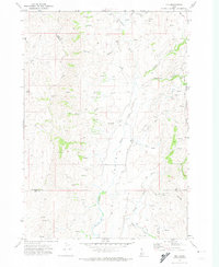
1970 · Ola
USGS Topo · 1:24,000
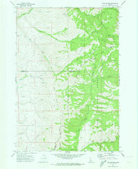
1970 · Twin Sisters
USGS Topo · 1:24,000

1980 · Weiser
USGS Topo · 1:100,000
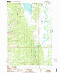
1985 · Alpha
USGS Topo · 1:24,000