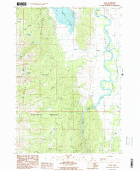
1985 Map of Alpha
USGS Topo · Published 1986About this map
Long Valley and the surrounding high country of the West Mountains define this mid-1980s survey of central Idaho. The landscape is dominated by the sprawling Cascade Reservoir in the north and the meandering course of the North Fork Payette River, which flows south toward the settlement of Alpha. Within the Boise National Forest, the terrain rises sharply to summits like Snowbank Mtn and Collier Peak, while numerous alpine water bodies such as Raft Lake and Shirts Lake are tucked into the high ridges. The map captures the interface between the protected forest wilderness and the valley floor, where small rural outposts like Cabarton, Belvidere, and Pearsol dot the flatlands near the river. Water drainage patterns are intricate, with Big Creek and Hurdy Creek cutting through the timbered slopes to reach the primary river system.
Find a feature on this map
29 named features on this map. Tap any name to fly to it.
Don’t see what you’re looking for? This feature index may not catch every label — zoom into the map to look around manually.
Map Details
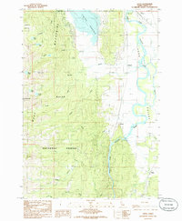
Editions of this 1985 Alpha Map
2 editions found
Other maps of this area

1894 · Squaw Creek
USGS Topo · 1:125,000

1909 · Garden Valley
USGS Topo · 1:125,000

1911 · Meadows
USGS Topo · 1:125,000

1953 · Smiths Ferry
USGS Topo · 1:62,500

1953 · Boiling Springs
USGS Topo · 1:62,500

1954 · Gold Fork
USGS Topo · 1:62,500

1954 · Cascade
USGS Topo · 1:62,500

1955 · Baker
USGS Topo · 1:250,000

1957 · Challis
USGS Topo · 1:250,000

1959 · Baker
USGS Topo · 1:250,000