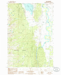
1985 Map of Alpha
USGS Topo · Published 1986About this map
Cascade Reservoir dominates the northern reaches of this mid-1980s survey, where the North Fork Payette River winds through the valley floor. The landscape is a study in contrasting elevations, rising sharply from the riverside flats to the prominent peaks of the West Boise Mountains, including Snowbank Mtn and Collier Peak. Within the Boise National Forest, a network of drainages such as Campbell Creek, Willow Creek, and Hurdy Creek feed into the central river system.
Find a feature on this map
29 named features on this map. Tap any name to fly to it.
Don’t see what you’re looking for? This feature index may not catch every label — zoom into the map to look around manually.
Map Details
Editions of this 1985 Alpha Map
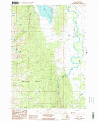
2 editions found
Other maps of this area

1894 · Squaw Creek
USGS Topo · 1:125,000

1909 · Garden Valley
USGS Topo · 1:125,000

1911 · Meadows
USGS Topo · 1:125,000

1953 · Smiths Ferry
USGS Topo · 1:62,500

1953 · Boiling Springs
USGS Topo · 1:62,500

1954 · Gold Fork
USGS Topo · 1:62,500

1954 · Cascade
USGS Topo · 1:62,500

1955 · Baker
USGS Topo · 1:250,000

1957 · Challis
USGS Topo · 1:250,000

1959 · Baker
USGS Topo · 1:250,000