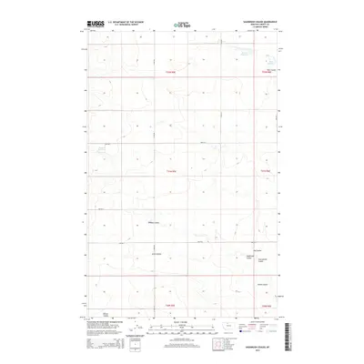
2014 Map of Sagebrush Coulee
USGS Topo · Published 2014About this map
Sagebrush Coulee and its neighboring drainage systems define this section of Liberty County, where the high plains are etched by deep, winding seasonal watercourses. This landscape is a network of coulees and catchments, reflecting a ranching and agricultural economy dependent on carefully managed water resources. Water storage for livestock and irrigation is represented by features like Walden Reservoir in the north and Browns Reservoir to the west. A grid of rural section roads, including S Tiber Rd and 3800 Rd S, provides access across the township lines of t31n r5e and t32n r6e. The map illustrates how human activity in this part of Montana follows the natural contours of the land, with names like Stewart Coulee, Arnst Coulee, and Twelvemile Coulee marking the varied topography of the region.
Find a feature on this map
23 named features on this map. Tap any name to fly to it.
Don’t see what you’re looking for? This feature index may not catch every label — zoom into the map to look around manually.
Map Details
Editions of this 2014 Sagebrush Coulee Map
This is the sole edition of this map. No revisions or reprints were ever made.
Other maps of this area

1919 · Alma
USGS Topo · 1:125,000

1954 · Shelby
USGS Topo · 1:250,000

1958 · Shelby
USGS Topo · 1:250,000

1962 · Tiber
USGS Topo · 1:24,000

1962 · North Lothair School
USGS Topo · 1:24,000

1963 · Chester
USGS Topo · 1:24,000

1970 · Circle Bridge
USGS Topo · 1:24,000

1970 · Sagebrush Coulee
USGS Topo · 1:24,000

1970 · Poverty Coulee
USGS Topo · 1:24,000

1970 · Lothair SW
USGS Topo · 1:24,000